Area Overview for YO22 4QH
Photos of YO22 4QH
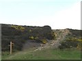
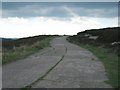
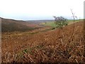
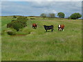
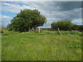
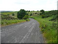
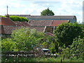
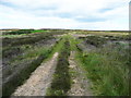
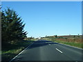
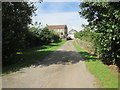
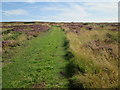
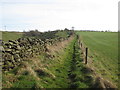
35 photos from this area
Area Information
Key information about the YO22 4QH including its size, population, and administrative classification.
- Area Type
- Postcode
- Area Size
- 7.7 km²
- Population
- 1947
- Population Density
- 29 people/km²
House Prices in YO22 4QH
33
Properties
£592,600
Average Sold Price
£365,000
Lowest Price
£1,193,000
Highest Price
Showing 33 properties
| Address | Type | Beds | Baths | Last Sale Price | Last Sale Date | |
|---|---|---|---|---|---|---|
| Brackenrigg, Blacksmith Hill, Fylingdales, Whitby, YO22 4QH | Bungalow | 4 | 2 | £375,000 | Jul 2022 | |
| Low Flask Farmhouse, Low Flask, Fylingdales, Whitby, YO22 4QH | house | 6 | 4 | £575,000 | Dec 2020 | |
| Woodside Farm, Wragby Farm, Fylingdales, Whitby, YO22 4QH | house | - | - | £1,193,000 | Nov 2016 | |
| Barnacres, Low Flask, Fylingdales, Whitby, YO22 4QH | house | - | - | £455,000 | Jul 2012 | |
| Springfield Farm, Evan Howe Pond To Blacksmith Hill, Fylingdales, Whitby, YO22 4QH | Detached | - | - | £365,000 | Dec 2007 | |
| Flask Bungalow Farm, Blacksmith Hill, Fylingdales, Whitby, YO22 4QH | Bungalow | 4 | 2 | - | - | |
| The Flat, Flask Inn, Blacksmith Hill, Fylingdales, Whitby, YO22 4QH | Flat | 9 | 9 | - | - | |
| 1, Wragby Barn Cottages, Wragby Farm, Fylingdales, Whitby, YO22 4QH | house | 2 | - | - | - | |
| Flask Inn Caravan Site, Blacksmith Hill, Fylingdales, Whitby, YO22 4QH | Mobile Home | - | - | - | - | |
| Flask Service Station Bungalow, Evan Howe Pond To Blacksmith Hill, Fylingdales, Whitby, YO22 4QH | Detached | - | - | - | - |
Page 1 of 4
Energy Efficiency in YO22 4QH
Amenities
Schools
| Rank | School | Type | Entry gender | Ages |
|---|
Explore more schools in this area
Go to Schools tabDemographics
Household Size
Two person
most common
Accommodation Type
Houses
most common
Tenure
78
majority
Ethnic Group
White
most common
Religion
N/A
most common
Household Composition
N/A
most common
Age
47
median
Adults (30-64 years)
most common
Household Deprivation
N/A
with no deprivation
NS-SEC
31
in Lower managerial occupations
Explore more demographic insights in this area
Go to Demographics tabPlanning
Planning Constraints
- Flood RiskPremium
- Ramsar Wetland SitesPremium
- Area of Outstanding Natural BeautyPremium
- Protected Nature ReservePremium
- Protected WoodlandPremium