Area Overview for YO19 6RE
Photos of YO19 6RE
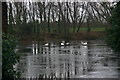
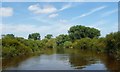
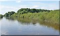
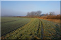
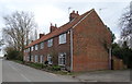
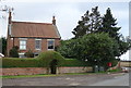
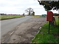
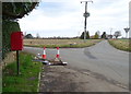
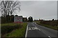
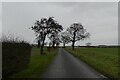
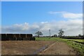
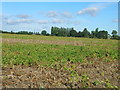
31 photos from this area
Area Information
Key information about the YO19 6RE including its size, population, and administrative classification.
- Area Type
- Postcode
- Area Size
- 94.4 hectares
- Population
- 1437
- Population Density
- 76 people/km²
House Prices in YO19 6RE
22
Properties
£359,833
Average Sold Price
£175,000
Lowest Price
£590,000
Highest Price
Showing 22 properties
| Address | Type | Beds | Baths | Last Sale Price | Last Sale Date | |
|---|---|---|---|---|---|---|
| Rowan House, Riccall Lane, Kelfield, YO19 6RE | Detached | 4 | 2 | £590,000 | Nov 2022 | |
| Sunnycroft, Riccall Lane, Kelfield, YO19 6RE | house | - | - | £475,000 | Nov 2018 | |
| Carrick House, Riccall Lane, Kelfield, YO19 6RE | Detached | 6 | 3 | £320,000 | May 2015 | |
| Ousefield, Riccall Lane, Kelfield, YO19 6RE | Detached | - | - | £390,000 | Jan 2006 | |
| Stonegate House, Riccall Lane, Kelfield, YO19 6RE | Detached | - | - | £175,000 | Jul 2000 | |
| Rose Cottage Bungalow, Riccall Lane, Kelfield, YO19 6RE | Detached | - | - | £209,000 | Apr 1999 | |
| Rose Cottage, Riccall Lane, Kelfield, YO19 6RE | Cottage | 4 | 1 | - | - | |
| Greenfields, Riccall Lane, Kelfield, YO19 6RE | Retail | 4 | - | - | - | |
| 1-2, Lakeside Mews, Riccall Lane, Kelfield, YO19 6RE | Semi-detached | 5 | 6 | - | - | |
| George House, Riccall Lane, Kelfield, YO19 6RE | Detached | 5 | 3 | - | - |
Page 1 of 3
Energy Efficiency in YO19 6RE
Amenities
Schools
| Rank | School | Type | Entry gender | Ages |
|---|
Explore more schools in this area
Go to Schools tabDemographics
Household Size
Two person
most common
Accommodation Type
Houses
most common
Tenure
71
majority
Ethnic Group
White
most common
Religion
N/A
most common
Household Composition
N/A
most common
Age
47
median
Adults (30-64 years)
most common
Household Deprivation
N/A
with no deprivation
NS-SEC
39
in Lower managerial occupations
Explore more demographic insights in this area
Go to Demographics tabPlanning
Planning Constraints
- Flood RiskPremium
- Ramsar Wetland SitesPremium
- Area of Outstanding Natural BeautyPremium
- Protected Nature ReservePremium
- Protected WoodlandPremium