Area Overview for YO19 6PN
Photos of YO19 6PN
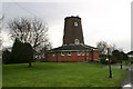
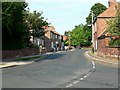
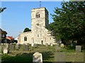

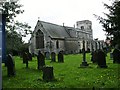
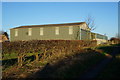
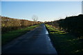
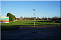
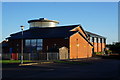
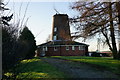
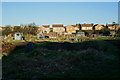
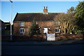
46 photos from this area
Area Information
Key information about the YO19 6PN including its size, population, and administrative classification.
- Area Type
- Postcode
- Area Size
- 1.3 hectares
- Population
- 1761
- Population Density
- 1388 people/km²
House Prices in YO19 6PN
15
Properties
£468,156
Average Sold Price
£330,000
Lowest Price
£650,000
Highest Price
Showing 15 properties
| Address | Type | Beds | Baths | Last Sale Price | Last Sale Date | |
|---|---|---|---|---|---|---|
| The Old Vicarage, 13 Church Street, Riccall, YO19 6PN | Detached | 4 | 2 | £650,000 | Jan 2025 | |
| Yew Tree Cottage, 3 Church Street, Riccall, YO19 6PN | Detached | 4 | 2 | £535,000 | Oct 2023 | |
| Dimple House, 4 Church Street, Riccall, YO19 6PN | house | - | - | £495,000 | Mar 2022 | |
| 9 Church Street, Riccall, YO19 6PN | house | - | - | £650,000 | Jan 2022 | |
| Rose Cottage, 11 Church Street, Riccall, YO19 6PN | Detached | 3 | - | £347,500 | Sep 2021 | |
| 8 Church Street, Riccall, YO19 6PN | Detached | 3 | 1 | £356,000 | Nov 2014 | |
| Malvern, 14 Church Street, Riccall, YO19 6PN | house | 4 | - | £330,000 | Jan 2013 | |
| Hawthorn House, 2 Church Street, Riccall, YO19 6PN | Detached | 4 | 2 | £381,750 | Jun 2004 | |
| 18 Church Street, Riccall, YO19 6PN | Detached | 3 | 1 | - | - | |
| 8A Church Street, Riccall, YO19 6PN | Detached | - | - | - | - |
Page 1 of 2
Energy Efficiency in YO19 6PN
Amenities
Schools
| Rank | School | Type | Entry gender | Ages |
|---|
Explore more schools in this area
Go to Schools tabDemographics
Household Size
Two person
most common
Accommodation Type
Houses
most common
Tenure
88
majority
Ethnic Group
White
most common
Religion
N/A
most common
Household Composition
N/A
most common
Age
47
median
Adults (30-64 years)
most common
Household Deprivation
N/A
with no deprivation
NS-SEC
44
in Lower managerial occupations
Explore more demographic insights in this area
Go to Demographics tabPlanning
Planning Constraints
- Flood RiskPremium
- Ramsar Wetland SitesPremium
- Area of Outstanding Natural BeautyPremium
- Protected Nature ReservePremium
- Protected WoodlandPremium