Area Overview for YO19 6LG
Photos of YO19 6LG

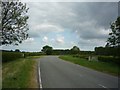
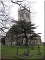
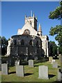
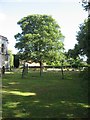
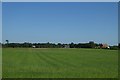
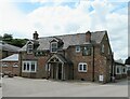
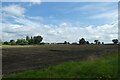
34 photos from this area
Area Information
Key information about the YO19 6LG including its size, population, and administrative classification.
- Area Type
- Postcode
- Area Size
- 8833 m²
- Population
- 1197
- Population Density
- 47 people/km²
House Prices in YO19 6LG
16
Properties
£290,000
Average Sold Price
£175,000
Lowest Price
£420,000
Highest Price
Showing 16 properties
| Address | Type | Beds | Baths | Last Sale Price | Last Sale Date | |
|---|---|---|---|---|---|---|
| 2, Church Cottages, Main Street, Escrick, YO19 6LG | Semi-detached | 2 | 1 | £240,000 | Aug 2023 | |
| 1, Church Cottages, Main Street, Escrick, YO19 6LG | house | 2 | 1 | £175,000 | Jun 2018 | |
| Chapmans Cottage, 29 Main Street, Escrick, YO19 6LG | house | - | - | £420,000 | Jun 2016 | |
| Sirmoor, 23 Main Street, Escrick, YO19 6LG | house | - | - | £325,000 | Jul 2013 | |
| 9 Main Street, Escrick, YO19 6LG | Terraced | 3 | 1 | - | - | |
| Post Office Row, 17 Main Street, Escrick, YO19 6LG | Terraced | 2 | 1 | - | - | |
| Chalfont, 25 Main Street, Escrick, YO19 6LG | Detached | 4 | - | - | - | |
| Wood Cottage, 27 Main Street, Escrick, YO19 6LG | house | - | - | - | - | |
| Post Office Row, 7 Main Street, Escrick, YO19 6LG | Semi-detached | - | - | - | - | |
| Cobweb Cottage, 15 Main Street, Escrick, YO19 6LG | house | - | - | - | - |
Page 1 of 2
Energy Efficiency in YO19 6LG
Amenities
Schools
| Rank | School | Type | Entry gender | Ages |
|---|
Explore more schools in this area
Go to Schools tabDemographics
Household Size
Two person
most common
Accommodation Type
Houses
most common
Tenure
81
majority
Ethnic Group
White
most common
Religion
N/A
most common
Household Composition
N/A
most common
Age
47
median
Adults (30-64 years)
most common
Household Deprivation
N/A
with no deprivation
NS-SEC
49
in Lower managerial occupations
Explore more demographic insights in this area
Go to Demographics tabPlanning
Planning Constraints
- Flood RiskPremium
- Ramsar Wetland SitesPremium
- Area of Outstanding Natural BeautyPremium
- Protected Nature ReservePremium
- Protected WoodlandPremium