Area Overview for YO19 5ND
Photos of YO19 5ND
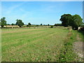
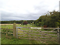
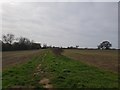
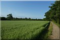
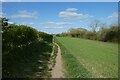
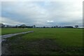

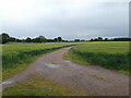
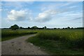
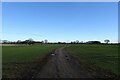
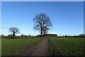
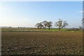
41 photos from this area
Area Information
Key information about the YO19 5ND including its size, population, and administrative classification.
- Area Type
- Postcode
- Area Size
- 36.6 hectares
- Population
- 1924
- Population Density
- 64 people/km²
House Prices in YO19 5ND
27
Properties
£308,450
Average Sold Price
£72,500
Lowest Price
£1,015,001
Highest Price
Showing 27 properties
| Address | Type | Beds | Baths | Last Sale Price | Last Sale Date | |
|---|---|---|---|---|---|---|
| 65 Eastfield Lane, Dunnington, York, YO19 5ND | Detached | 3 | 1 | £420,000 | May 2025 | |
| 41 Eastfield Lane, Dunnington, York, YO19 5ND | Detached | 4 | 2 | £410,000 | May 2024 | |
| Cowslip Hill Farm, Eastfield Lane, Dunnington, York, YO19 5ND | house | - | - | £1,015,001 | Sep 2021 | |
| 55 Eastfield Lane, Dunnington, York, YO19 5ND | house | - | - | £390,000 | Apr 2021 | |
| Milestones, 19 Eastfield Lane, Dunnington, York, YO19 5ND | Detached | 3 | 2 | £260,000 | Aug 2018 | |
| 45 Eastfield Lane, Dunnington, York, YO19 5ND | Bungalow | - | - | £260,000 | Sep 2017 | |
| 51 Eastfield Lane, Dunnington, York, YO19 5ND | house | - | - | £373,000 | Oct 2016 | |
| 31 Eastfield Lane, Dunnington, York, YO19 5ND | house | - | - | £282,000 | Mar 2016 | |
| 33 Eastfield Lane, Dunnington, York, YO19 5ND | house | - | - | £375,000 | Dec 2015 | |
| 61 Eastfield Lane, Dunnington, York, YO19 5ND | Detached | 4 | 2 | £325,000 | Oct 2015 |
Page 1 of 3
Energy Efficiency in YO19 5ND
Amenities
Schools
| Rank | School | Type | Entry gender | Ages |
|---|
Explore more schools in this area
Go to Schools tabDemographics
Household Size
Two person
most common
Accommodation Type
Houses
most common
Tenure
88
majority
Ethnic Group
White
most common
Religion
N/A
most common
Household Composition
N/A
most common
Age
47
median
Adults (30-64 years)
most common
Household Deprivation
N/A
with no deprivation
NS-SEC
44
in Lower managerial occupations
Explore more demographic insights in this area
Go to Demographics tabPlanning
Planning Constraints
- Flood RiskPremium
- Ramsar Wetland SitesPremium
- Area of Outstanding Natural BeautyPremium
- Protected Nature ReservePremium
- Protected WoodlandPremium