Area Overview for YO19 4AD
Photos of YO19 4AD
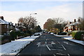
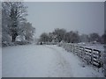
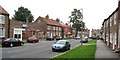
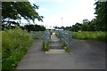
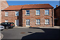
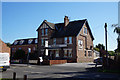
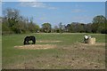
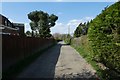
100 photos from this area
Area Information
Key information about the YO19 4AD including its size, population, and administrative classification.
- Area Type
- Postcode
- Area Size
- 1.3 hectares
- Population
- 1698
- Population Density
- 1798 people/km²
House Prices in YO19 4AD
43
Properties
£304,364
Average Sold Price
£137,091
Lowest Price
£700,000
Highest Price
Showing 43 properties
| Address | Type | Beds | Baths | Last Sale Price | Last Sale Date | |
|---|---|---|---|---|---|---|
| 12 Thornton Road, York, YO19 4AD | Terraced | 2 | 1 | £265,000 | Feb 2025 | |
| 14 Thornton Road, York, YO19 4AD | Terraced | 2 | 1 | £280,000 | Feb 2025 | |
| 16 Thornton Road, York, YO19 4AD | Semi-detached | 3 | 2 | £270,000 | Sep 2024 | |
| 18 Thornton Road, York, YO19 4AD | Terraced | 2 | 1 | £254,000 | Jun 2024 | |
| 50 Thornton Road, York, YO19 4AD | Detached | 4 | 2 | £580,000 | Apr 2024 | |
| 10 Thornton Road, York, YO19 4AD | Terraced | 2 | 1 | £255,000 | Dec 2023 | |
| 66 Thornton Road, York, YO19 4AD | house | - | - | £332,500 | Dec 2022 | |
| 68 Thornton Road, York, YO19 4AD | house | - | - | £327,500 | Dec 2022 | |
| 64 Thornton Road, York, YO19 4AD | Detached | - | - | £405,000 | Dec 2022 | |
| 54 Thornton Road, York, YO19 4AD | house | - | - | £700,000 | Jun 2022 |
Page 1 of 5
Energy Efficiency in YO19 4AD
Amenities
Schools
| Rank | School | Type | Entry gender | Ages |
|---|
Explore more schools in this area
Go to Schools tabDemographics
Household Size
Family (3-5 people)
most common
Accommodation Type
Houses
most common
Tenure
83
majority
Ethnic Group
White
most common
Religion
N/A
most common
Household Composition
N/A
most common
Age
47
median
Adults (30-64 years)
most common
Household Deprivation
N/A
with no deprivation
NS-SEC
41
in Lower managerial occupations
Explore more demographic insights in this area
Go to Demographics tabPlanning
Planning Constraints
- Flood RiskPremium
- Ramsar Wetland SitesPremium
- Area of Outstanding Natural BeautyPremium
- Protected Nature ReservePremium
- Protected WoodlandPremium