Area Overview for YO18 8RP
Photos of YO18 8RP
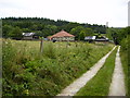
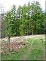
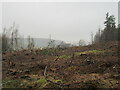
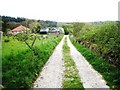
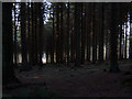
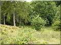
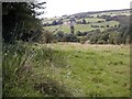
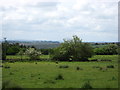
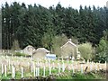
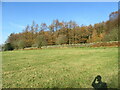
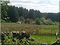
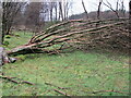
17 photos from this area
Area Information
Key information about the YO18 8RP including its size, population, and administrative classification.
- Area Type
- Postcode
- Area Size
- 5.8 km²
- Population
- 1307
- Population Density
- 7 people/km²
House Prices in YO18 8RP
11
Properties
£463,750
Average Sold Price
£88,000
Lowest Price
£900,000
Highest Price
Showing 11 properties
| Address | Type | Beds | Baths | Last Sale Price | Last Sale Date | |
|---|---|---|---|---|---|---|
| St James Farm, Hartoft End To Low Mires, Hartoft, YO18 8RP | house | - | - | £637,000 | Sep 2021 | |
| Storey House Farm, Hartoft End To Low Mires, Hartoft, YO18 8RP | Farm | 9 | 5 | £900,000 | Dec 2019 | |
| The Granary, Hartoft End To Low Mires, Hartoft, YO18 8RP | Detached | 3 | 2 | £230,000 | Oct 2014 | |
| Low Muffles Bridge, Hartoft End To Low Mires, Hartoft, YO18 8RP | Bungalow | - | - | £88,000 | Mar 1997 | |
| Head House Farm, Hartoft End To Low Mires, Hartoft, YO18 8RP | Semi-detached | 4 | 1 | - | - | |
| Low Muffles, Hartoft End To Low Mires, Hartoft, YO18 8RP | Bungalow | 3 | 2 | - | - | |
| Pinewood View, Hartoft End To Low Mires, Hartoft, YO18 8RP | Detached | - | - | - | - | |
| School House, Hartoft End To Low Mires, Hartoft, YO18 8RP | Detached | - | - | - | - | |
| Rigg End Farm, Hartoft End To Low Mires, Hartoft, YO18 8RP | house | - | - | - | - | |
| High Farm, Hartoft End To Low Mires, Hartoft, YO18 8RP | house | - | - | - | - |
Page 1 of 2
Energy Efficiency in YO18 8RP
Amenities
Schools
| Rank | School | Type | Entry gender | Ages |
|---|
Explore more schools in this area
Go to Schools tabDemographics
Household Size
Two person
most common
Accommodation Type
Houses
most common
Tenure
72
majority
Ethnic Group
White
most common
Religion
N/A
most common
Household Composition
N/A
most common
Age
47
median
Adults (30-64 years)
most common
Household Deprivation
N/A
with no deprivation
NS-SEC
38
in Lower managerial occupations
Explore more demographic insights in this area
Go to Demographics tabPlanning
Planning Constraints
- Flood RiskPremium
- Ramsar Wetland SitesPremium
- Area of Outstanding Natural BeautyPremium
- Protected Nature ReservePremium
- Protected WoodlandPremium