Area Overview for YO18 8DT
Photos of YO18 8DT
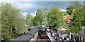
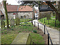
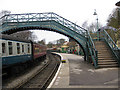
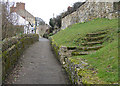
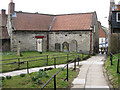
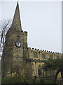
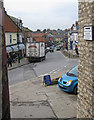
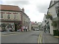
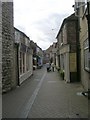
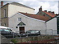
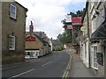
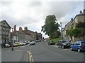
100 photos from this area
Area Information
Key information about the YO18 8DT including its size, population, and administrative classification.
- Area Type
- Postcode
- Area Size
- 7506 m²
- Population
- 2227
- Population Density
- 481 people/km²
House Prices in YO18 8DT
12
Properties
£199,000
Average Sold Price
£28,000
Lowest Price
£370,000
Highest Price
Showing 12 properties
| Address | Type | Beds | Baths | Last Sale Price | Last Sale Date | |
|---|---|---|---|---|---|---|
| 8 Bridge Street, Pickering, YO18 8DT | Cottage | 4 | 2 | £370,000 | Aug 2020 | |
| 7A Bridge Street, Pickering, YO18 8DT | Flat | - | - | £28,000 | May 2000 | |
| The Old Hall, Bridge Street, Pickering, YO18 8DT | commercial | - | - | - | - | |
| Second Floor Flat, 5 Bridge Street, Pickering, YO18 8DT | Flat | - | - | - | - | |
| Flat 3, Beckside, Bridge Street, Pickering, YO18 8DT | Flat | - | - | - | - | |
| Public Conveniences, The Ropery, Pickering, YO18 8DT | commercial | - | - | - | - | |
| Ice Cream Concession, The Ropery, Pickering, YO18 8DT | shop | - | - | - | - | |
| Flat, 6 Bridge Street, Pickering, YO18 8DT | retail_financial | - | - | - | - | |
| 6A Bridge Street, Pickering, YO18 8DT | Maisonette | - | - | - | - | |
| 5 Bridge Street, Pickering, YO18 8DT | shop | - | - | - | - |
Page 1 of 2
Energy Efficiency in YO18 8DT
Amenities
Schools
| Rank | School | Type | Entry gender | Ages |
|---|
Explore more schools in this area
Go to Schools tabDemographics
Household Size
Two person
most common
Accommodation Type
Houses
most common
Tenure
75
majority
Ethnic Group
White
most common
Religion
N/A
most common
Household Composition
N/A
most common
Age
47
median
Elderly (65+ years)
most common
Household Deprivation
N/A
with no deprivation
NS-SEC
36
in Lower managerial occupations
Explore more demographic insights in this area
Go to Demographics tabPlanning
Planning Constraints
- Flood RiskPremium
- Ramsar Wetland SitesPremium
- Area of Outstanding Natural BeautyPremium
- Protected Nature ReservePremium
- Protected WoodlandPremium