Area Overview for YO18 7PG
Photos of YO18 7PG
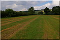
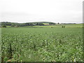
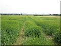
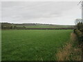
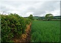
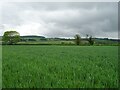
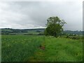
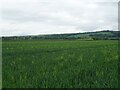
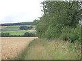
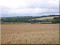
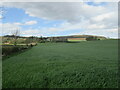
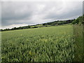
12 photos from this area
Area Information
Key information about the YO18 7PG including its size, population, and administrative classification.
- Area Type
- Postcode
- Area Size
- 1.4 km²
- Population
- 1615
- Population Density
- 11 people/km²
House Prices in YO18 7PG
90
Properties
£273,626
Average Sold Price
£7,000
Lowest Price
£765,000
Highest Price
Showing 90 properties
| Address | Type | Beds | Baths | Last Sale Price | Last Sale Date | |
|---|---|---|---|---|---|---|
| April Cottage, Main Street, Allerston, YO18 7PG | house | - | - | £230,000 | Aug 2025 | |
| Givenbrook, Main Street, Allerston, YO18 7PG | Detached | 3 | 1 | £440,000 | May 2025 | |
| Waterways, Main Street, Allerston, YO18 7PG | Bungalow | 4 | 2 | £365,000 | Feb 2025 | |
| Harewood House, Main Street, Allerston, YO18 7PG | house | 4 | - | £765,000 | Feb 2025 | |
| Mill Cottage, Main Street, Allerston, YO18 7PG | Semi-detached | 3 | 1 | £407,000 | Jun 2024 | |
| Vale View, Main Street, Allerston, YO18 7PG | Bungalow | 3 | 2 | £415,000 | Mar 2023 | |
| Brookside, Main Street, Allerston, YO18 7PG | Detached | 3 | 1 | £455,000 | Dec 2022 | |
| Brackendale, Main Street, Allerston, YO18 7PG | Semi-detached | 3 | 1 | £370,000 | Dec 2021 | |
| Cravengarth, Main Street, Allerston, YO18 7PG | house | - | - | £302,250 | Oct 2021 | |
| Barn Cottage, Main Street, Allerston, YO18 7PG | house | - | - | £565,000 | Sep 2021 |
Page 1 of 9
Energy Efficiency in YO18 7PG
Amenities
Schools
| Rank | School | Type | Entry gender | Ages |
|---|
Explore more schools in this area
Go to Schools tabDemographics
Household Size
Two person
most common
Accommodation Type
Houses
most common
Tenure
76
majority
Ethnic Group
White
most common
Religion
N/A
most common
Household Composition
N/A
most common
Age
47
median
Adults (30-64 years)
most common
Household Deprivation
N/A
with no deprivation
NS-SEC
37
in Lower managerial occupations
Explore more demographic insights in this area
Go to Demographics tabPlanning
Planning Constraints
- Flood RiskPremium
- Ramsar Wetland SitesPremium
- Area of Outstanding Natural BeautyPremium
- Protected Nature ReservePremium
- Protected WoodlandPremium