Area Overview for YO18 7EL
Photos of YO18 7EL
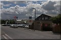
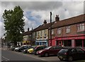
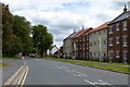
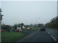
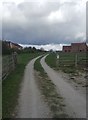
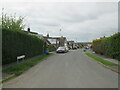
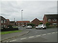
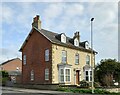
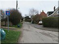
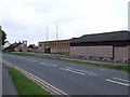
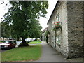
23 photos from this area
Area Information
Key information about the YO18 7EL including its size, population, and administrative classification.
- Area Type
- Postcode
- Area Size
- 13.3 hectares
- Population
- 2227
- Population Density
- 481 people/km²
House Prices in YO18 7EL
81
Properties
£195,216
Average Sold Price
£47,750
Lowest Price
£405,000
Highest Price
Showing 81 properties
| Address | Type | Beds | Baths | Last Sale Price | Last Sale Date | |
|---|---|---|---|---|---|---|
| Fairways, 107 Outgang Road, Pickering, YO18 7EL | Detached | 2 | 1 | £395,000 | Jun 2025 | |
| 105 Outgang Road, Pickering, YO18 7EL | Detached | 3 | 2 | £405,000 | Apr 2025 | |
| 65 Outgang Road, Pickering, YO18 7EL | Terraced | 3 | 1 | £275,000 | Sep 2024 | |
| 122 Outgang Road, Pickering, YO18 7EL | house | - | - | £272,000 | Mar 2022 | |
| 38 Outgang Road, Pickering, YO18 7EL | Terraced | 2 | 2 | £178,000 | Mar 2021 | |
| 47 Outgang Road, Pickering, YO18 7EL | house | - | - | £235,000 | Mar 2020 | |
| Southolme, 7 Outgang Road, Pickering, YO18 7EL | Terraced | 2 | 1 | £180,000 | Oct 2018 | |
| Erinacea, 93 Outgang Road, Pickering, YO18 7EL | Bungalow | 3 | 1 | £265,000 | Sep 2018 | |
| Garden Cottage, 45 Outgang Road, Pickering, YO18 7EL | house | - | - | £275,000 | Sep 2018 | |
| Mickle Barn, 35 Outgang Road, Pickering, YO18 7EL | house | - | - | £170,000 | Mar 2018 |
Page 1 of 9
Energy Efficiency in YO18 7EL
Amenities
Schools
| Rank | School | Type | Entry gender | Ages |
|---|
Explore more schools in this area
Go to Schools tabDemographics
Household Size
Two person
most common
Accommodation Type
Houses
most common
Tenure
75
majority
Ethnic Group
White
most common
Religion
N/A
most common
Household Composition
N/A
most common
Age
47
median
Elderly (65+ years)
most common
Household Deprivation
N/A
with no deprivation
NS-SEC
36
in Lower managerial occupations
Explore more demographic insights in this area
Go to Demographics tabPlanning
Planning Constraints
- Flood RiskPremium
- Ramsar Wetland SitesPremium
- Area of Outstanding Natural BeautyPremium
- Protected Nature ReservePremium
- Protected WoodlandPremium