Area Overview for YO17 9HN
Photos of YO17 9HN
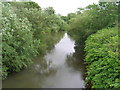
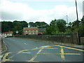
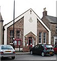
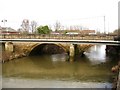

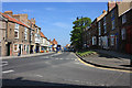
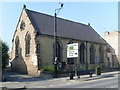
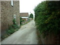
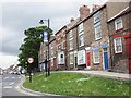
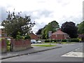
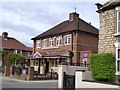
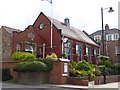
100 photos from this area
Area Information
Key information about the YO17 9HN including its size, population, and administrative classification.
- Area Type
- Postcode
- Area Size
- 1415 m²
- Population
- 1904
- Population Density
- 341 people/km²
House Prices in YO17 9HN
10
Properties
£68,233
Average Sold Price
£29,450
Lowest Price
£105,000
Highest Price
Showing 10 properties
| Address | Type | Beds | Baths | Last Sale Price | Last Sale Date | |
|---|---|---|---|---|---|---|
| 3 Buckrose Court, Norton, YO17 9HN | Terraced | 2 | 1 | £70,250 | Sep 2023 | |
| Bluebell Cottage, 4 Buckrose Court, Norton, YO17 9HN | Terraced | 2 | - | £105,000 | Jun 2021 | |
| 1 Buckrose Court, Norton, YO17 9HN | Terraced | - | - | £29,450 | Feb 1999 | |
| Romm Ten Buckrose House, Commercial Street, Norton, YO17 9HN | Flat | - | - | - | - | |
| Room Eleven Buckrose House, Commercial Street, Norton, YO17 9HN | Flat | - | - | - | - | |
| Room Eight Buckrose House, Commercial Street, Norton, YO17 9HN | Flat | - | - | - | - | |
| Room Seven Buckrose House, Commercial Street, Norton, YO17 9HN | Flat | - | - | - | - | |
| Room Twelve Buckrose House, Commercial Street, Norton, YO17 9HN | Flat | - | - | - | - | |
| Room Thirteen Buckrose House, Commercial Street, Norton, YO17 9HN | Flat | - | - | - | - | |
| Room Nine Buckrose House, Commercial Street, Norton, YO17 9HN | Flat | - | - | - | - |
Energy Efficiency in YO17 9HN
Amenities
Schools
| Rank | School | Type | Entry gender | Ages |
|---|
Explore more schools in this area
Go to Schools tabDemographics
Household Size
Two person
most common
Accommodation Type
Houses
most common
Tenure
60
majority
Ethnic Group
White
most common
Religion
N/A
most common
Household Composition
N/A
most common
Age
47
median
Adults (30-64 years)
most common
Household Deprivation
N/A
with no deprivation
NS-SEC
24
in Lower managerial occupations
Explore more demographic insights in this area
Go to Demographics tabPlanning
Planning Constraints
- Flood RiskPremium
- Ramsar Wetland SitesPremium
- Area of Outstanding Natural BeautyPremium
- Protected Nature ReservePremium
- Protected WoodlandPremium