Area Overview for YO16 6TB
Photos of YO16 6TB
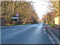
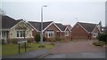
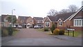
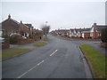
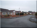
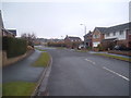
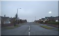
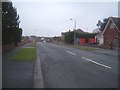


100 photos from this area
Area Information
Key information about the YO16 6TB including its size, population, and administrative classification.
- Area Type
- Postcode
- Area Size
- 9894 m²
- Population
- 1197
- Population Density
- 482 people/km²
House Prices in YO16 6TB
22
Properties
£136,144
Average Sold Price
£48,000
Lowest Price
£215,000
Highest Price
Showing 22 properties
| Address | Type | Beds | Baths | Last Sale Price | Last Sale Date | |
|---|---|---|---|---|---|---|
| 118 Viking Road, Bridlington, YO16 6TB | Retail | 2 | 1 | £215,000 | Jun 2022 | |
| 116 Viking Road, Bridlington, YO16 6TB | Bungalow | 2 | - | £167,000 | Jul 2020 | |
| 104 Viking Road, Bridlington, YO16 6TB | house | - | - | £153,000 | Jan 2020 | |
| 112 Viking Road, Bridlington, YO16 6TB | Bungalow | 2 | 1 | £187,000 | Mar 2019 | |
| 106 Viking Road, Bridlington, YO16 6TB | house | - | - | £154,000 | Sep 2015 | |
| 136 Viking Road, Bridlington, YO16 6TB | house | - | - | £175,000 | Aug 2015 | |
| 102 Viking Road, Bridlington, YO16 6TB | Semi-detached | 3 | - | £137,000 | Dec 2013 | |
| 110 Viking Road, Bridlington, YO16 6TB | Bungalow | - | - | £148,000 | Aug 2011 | |
| 114 Viking Road, Bridlington, YO16 6TB | Bungalow | - | - | £164,950 | Apr 2011 | |
| 120 Viking Road, Bridlington, YO16 6TB | Bungalow | - | - | £125,000 | Apr 2011 |
Page 1 of 3
Energy Efficiency in YO16 6TB
Amenities
Schools
| Rank | School | Type | Entry gender | Ages |
|---|
Explore more schools in this area
Go to Schools tabDemographics
Household Size
Two person
most common
Accommodation Type
Houses
most common
Tenure
85
majority
Ethnic Group
White
most common
Religion
N/A
most common
Household Composition
N/A
most common
Age
70
median
Elderly (65+ years)
most common
Household Deprivation
N/A
with no deprivation
NS-SEC
29
in Lower managerial occupations
Explore more demographic insights in this area
Go to Demographics tabPlanning
Planning Constraints
- Flood RiskPremium
- Ramsar Wetland SitesPremium
- Area of Outstanding Natural BeautyPremium
- Protected Nature ReservePremium
- Protected WoodlandPremium