Area Overview for YO15 3LU
Photos of YO15 3LU
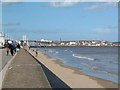
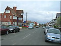
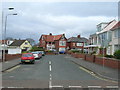
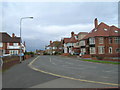
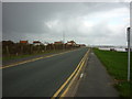
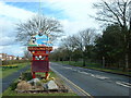
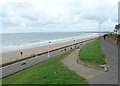
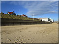
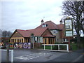
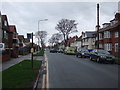
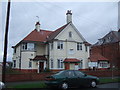
100 photos from this area
Area Information
Key information about the YO15 3LU including its size, population, and administrative classification.
- Area Type
- Postcode
- Area Size
- 10.0 hectares
- Population
- 1205
- Population Density
- 4571 people/km²
House Prices in YO15 3LU
20
Properties
£250,722
Average Sold Price
£75,000
Lowest Price
£640,000
Highest Price
Showing 20 properties
| Address | Type | Beds | Baths | Last Sale Price | Last Sale Date | |
|---|---|---|---|---|---|---|
| Sunnymead, 14A South Cliff, Bridlington, YO15 3LU | Maisonette | - | - | £280,000 | Mar 2018 | |
| 16 South Cliff, Bridlington, YO15 3LU | house | - | - | £640,000 | Jul 2015 | |
| Victoria Chalet, 18 South Cliff, Bridlington, YO15 3LU | Detached | - | - | £300,000 | Oct 2008 | |
| 12A South Cliff, Bridlington, YO15 3LU | Flat | - | - | £150,000 | Jun 2005 | |
| 2 South Cliff, Bridlington, YO15 3LU | Detached | - | - | £380,000 | Feb 2003 | |
| 6A South Cliff, Bridlington, YO15 3LU | Flat | - | - | £149,500 | Jul 2002 | |
| 26 South Cliff, Bridlington, YO15 3LU | Detached | - | - | £152,000 | Jul 2000 | |
| 24 South Cliff, Bridlington, YO15 3LU | Detached | - | - | £75,000 | Mar 2000 | |
| 22 South Cliff, Bridlington, YO15 3LU | Bungalow | - | - | £130,000 | Dec 1996 | |
| 149 Cardigan Road, Bridlington, YO15 3LU | Semi-detached | - | - | - | - |
Page 1 of 2
Energy Efficiency in YO15 3LU
Amenities
Schools
| Rank | School | Type | Entry gender | Ages |
|---|
Explore more schools in this area
Go to Schools tabDemographics
Household Size
One person
most common
Accommodation Type
Houses
most common
Tenure
55
majority
Ethnic Group
White
most common
Religion
N/A
most common
Household Composition
N/A
most common
Age
47
median
Adults (30-64 years)
most common
Household Deprivation
N/A
with no deprivation
NS-SEC
23
in Lower managerial occupations
Explore more demographic insights in this area
Go to Demographics tabPlanning
Planning Constraints
- Flood RiskPremium
- Ramsar Wetland SitesPremium
- Area of Outstanding Natural BeautyPremium
- Protected Nature ReservePremium
- Protected WoodlandPremium