Area Overview for YO13 9QB
Photos of YO13 9QB
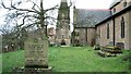
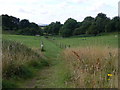
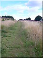
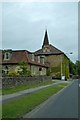
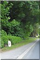
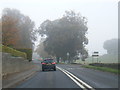
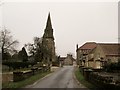
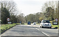
48 photos from this area
Area Information
Key information about the YO13 9QB including its size, population, and administrative classification.
- Area Type
- Postcode
- Area Size
- 1.1 km²
- Population
- 1687
- Population Density
- 45 people/km²
House Prices in YO13 9QB
12
Properties
-
Average Sold Price
-
Lowest Price
-
Highest Price
Showing 12 properties
| Address | Type | Beds | Baths | Last Sale Price | Last Sale Date | |
|---|---|---|---|---|---|---|
| Caravan 47, St Helens Caravan Park, Main Road, Wykeham, Scarborough, YO13 9QB | Mobile Home | - | - | - | - | |
| Caravan 150, St Helens Caravan Park, Main Road, Wykeham, Scarborough, YO13 9QB | Mobile Home | - | - | - | - | |
| Unit A, Farfield Business Park, Main Road, Wykeham, Scarborough, YO13 9QB | office_workshop | - | - | - | - | |
| 109 Main Road, Wykeham, Scarborough, YO13 9QB | Semi-detached | - | - | - | - | |
| 45 Main Road, Wykeham, Scarborough, YO13 9QB | house | - | - | - | - | |
| 44 Main Road, Wykeham, Scarborough, YO13 9QB | house | - | - | - | - | |
| The Lodge, St Helens Caravan Park, Main Road, Wykeham, Scarborough, YO13 9QB | Semi-detached | - | - | - | - | |
| The Downe Arms Hotel, Main Street, Folkton, Scarborough, YO13 9QB | undefined | - | - | - | - | |
| Ankaret Cresswell, Main Road, Aislaby, Whitby, YO13 9QB | undefined | - | - | - | - | |
| The Bungalow, St Helens Caravan Park, Main Road, Wykeham, Scarborough, YO13 9QB | Detached | - | - | - | - |
Page 1 of 2
Energy Efficiency in YO13 9QB
Amenities
Schools
| Rank | School | Type | Entry gender | Ages |
|---|
Explore more schools in this area
Go to Schools tabDemographics
Household Size
Two person
most common
Accommodation Type
Houses
most common
Tenure
70
majority
Ethnic Group
White
most common
Religion
N/A
most common
Household Composition
N/A
most common
Age
47
median
Adults (30-64 years)
most common
Household Deprivation
N/A
with no deprivation
NS-SEC
34
in Lower managerial occupations
Explore more demographic insights in this area
Go to Demographics tabPlanning
Planning Constraints
- Flood RiskPremium
- Ramsar Wetland SitesPremium
- Area of Outstanding Natural BeautyPremium
- Protected Nature ReservePremium
- Protected WoodlandPremium