Area Overview for YO13 9PY
Photos of YO13 9PY
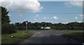
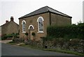
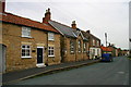
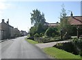
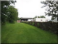
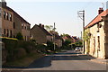
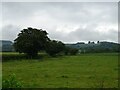
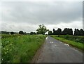
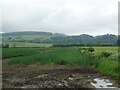
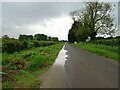
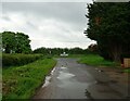
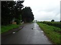
39 photos from this area
Area Information
Key information about the YO13 9PY including its size, population, and administrative classification.
- Area Type
- Postcode
- Area Size
- 1.1 hectares
- Population
- 1615
- Population Density
- 11 people/km²
House Prices in YO13 9PY
9
Properties
£323,375
Average Sold Price
£245,000
Lowest Price
£475,000
Highest Price
Showing 9 properties
| Address | Type | Beds | Baths | Last Sale Price | Last Sale Date | |
|---|---|---|---|---|---|---|
| The Granary, Back Lane, Ebberston, YO13 9PY | Semi-detached | 5 | 2 | £475,000 | May 2025 | |
| Old Smithy, Back Lane, Ebberston, YO13 9PY | Semi-detached | 4 | 2 | £325,000 | Jun 2017 | |
| Dove Cottage, Back Lane, Ebberston, YO13 9PY | house | - | - | £248,500 | Mar 2006 | |
| Lavender Cottage, Back Lane, Ebberston, YO13 9PY | house | - | - | £245,000 | Jul 2005 | |
| Old Blacksmiths Shop, Back Lane, Ebberston, YO13 9PY | Semi-detached | 4 | 2 | - | - | |
| Birch House, Back Lane, Ebberston, YO13 9PY | Terraced | - | - | - | - | |
| Brook Farm Cottage, Back Lane, Ebberston, YO13 9PY | Semi-detached | - | - | - | - | |
| High Barn, Back Lane, Ebberston, YO13 9PY | Detached | 3 | - | - | - | |
| Paddock View, Back Lane, Ebberston, YO13 9PY | Maisonette | - | - | - | - |
Energy Efficiency in YO13 9PY
Amenities
Schools
| Rank | School | Type | Entry gender | Ages |
|---|
Explore more schools in this area
Go to Schools tabDemographics
Household Size
Two person
most common
Accommodation Type
Houses
most common
Tenure
76
majority
Ethnic Group
White
most common
Religion
N/A
most common
Household Composition
N/A
most common
Age
47
median
Adults (30-64 years)
most common
Household Deprivation
N/A
with no deprivation
NS-SEC
37
in Lower managerial occupations
Explore more demographic insights in this area
Go to Demographics tabPlanning
Planning Constraints
- Flood RiskPremium
- Ramsar Wetland SitesPremium
- Area of Outstanding Natural BeautyPremium
- Protected Nature ReservePremium
- Protected WoodlandPremium