Area Overview for YO13 9HZ
Photos of YO13 9HZ
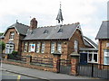
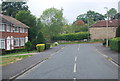
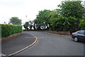
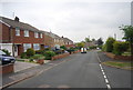
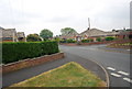
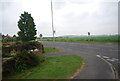
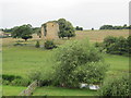
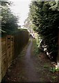
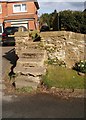
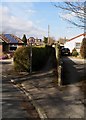
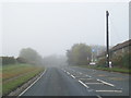
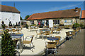
36 photos from this area
Area Information
Key information about the YO13 9HZ including its size, population, and administrative classification.
- Area Type
- Postcode
- Area Size
- 1.2 hectares
- Population
- 1706
- Population Density
- 160 people/km²
House Prices in YO13 9HZ
13
Properties
£236,454
Average Sold Price
£40,000
Lowest Price
£455,000
Highest Price
Showing 13 properties
| Address | Type | Beds | Baths | Last Sale Price | Last Sale Date | |
|---|---|---|---|---|---|---|
| 10 The Nurseries, East Ayton, Scarborough, YO13 9HZ | Bungalow | 3 | 2 | £423,000 | Sep 2023 | |
| 12 The Nurseries, East Ayton, Scarborough, YO13 9HZ | Bungalow | 3 | 2 | £370,000 | Aug 2023 | |
| 1 The Nurseries, East Ayton, Scarborough, YO13 9HZ | Bungalow | - | - | £455,000 | Dec 2021 | |
| 2 The Nurseries, East Ayton, Scarborough, YO13 9HZ | Bungalow | 3 | 2 | £290,000 | Aug 2019 | |
| 9 The Nurseries, East Ayton, Scarborough, YO13 9HZ | Detached | 3 | - | £286,450 | Apr 2016 | |
| 5 The Nurseries, East Ayton, Scarborough, YO13 9HZ | Bungalow | - | - | £244,000 | Nov 2009 | |
| 4 The Nurseries, East Ayton, Scarborough, YO13 9HZ | house | - | - | £255,000 | Oct 2009 | |
| 11 The Nurseries, East Ayton, Scarborough, YO13 9HZ | Bungalow | 3 | 2 | £238,000 | Nov 2002 | |
| 6 The Nurseries, East Ayton, Scarborough, YO13 9HZ | Detached | - | - | £129,950 | Mar 2000 | |
| 8 The Nurseries, East Ayton, Scarborough, YO13 9HZ | Bungalow | 3 | 2 | £117,500 | Jan 2000 |
Page 1 of 2
Energy Efficiency in YO13 9HZ
Amenities
Schools
| Rank | School | Type | Entry gender | Ages |
|---|
Explore more schools in this area
Go to Schools tabDemographics
Household Size
Two person
most common
Accommodation Type
Houses
most common
Tenure
86
majority
Ethnic Group
White
most common
Religion
N/A
most common
Household Composition
N/A
most common
Age
47
median
Adults (30-64 years)
most common
Household Deprivation
N/A
with no deprivation
NS-SEC
32
in Lower managerial occupations
Explore more demographic insights in this area
Go to Demographics tabPlanning
Planning Constraints
- Flood RiskPremium
- Ramsar Wetland SitesPremium
- Area of Outstanding Natural BeautyPremium
- Protected Nature ReservePremium
- Protected WoodlandPremium