Area Overview for YO13 0HY
Photos of YO13 0HY
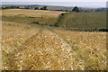
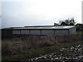
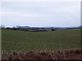
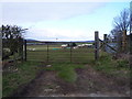
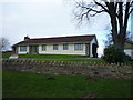
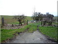
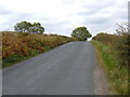
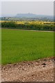
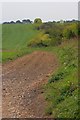
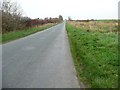
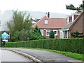
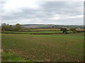
15 photos from this area
Area Information
Key information about the YO13 0HY including its size, population, and administrative classification.
- Area Type
- Postcode
- Area Size
- 13.9 hectares
- Population
- 2184
- Population Density
- 114 people/km²
House Prices in YO13 0HY
22
Properties
£211,295
Average Sold Price
£50,500
Lowest Price
£350,000
Highest Price
Showing 22 properties
| Address | Type | Beds | Baths | Last Sale Price | Last Sale Date | |
|---|---|---|---|---|---|---|
| 10 Overgreen Lane, Burniston, Scarborough, YO13 0HY | Bungalow | 2 | 1 | £262,000 | Oct 2025 | |
| 19 Overgreen Lane, Burniston, Scarborough, YO13 0HY | Semi-detached | 4 | 1 | £269,000 | Jul 2024 | |
| 8 Overgreen Lane, Burniston, Scarborough, YO13 0HY | Bungalow | 3 | 1 | £350,000 | Mar 2022 | |
| 3 Overgreen Lane, Burniston, Scarborough, YO13 0HY | Bungalow | 2 | - | £173,000 | Nov 2020 | |
| 2 Overgreen Lane, Burniston, Scarborough, YO13 0HY | Bungalow | 3 | - | £275,000 | Sep 2019 | |
| 9 Overgreen Lane, Burniston, Scarborough, YO13 0HY | house | - | - | £179,950 | Feb 2014 | |
| 6 Overgreen Lane, Burniston, Scarborough, YO13 0HY | Detached | 4 | - | £281,500 | Nov 2011 | |
| 23 Overgreen Lane, Burniston, Scarborough, YO13 0HY | house | 2 | - | £193,000 | Nov 2011 | |
| 21 Overgreen Lane, Burniston, Scarborough, YO13 0HY | Semi-detached | - | - | £79,000 | Dec 1999 | |
| 5 Overgreen Lane, Burniston, Scarborough, YO13 0HY | Semi-detached | - | - | £50,500 | Jun 1999 |
Page 1 of 3
Energy Efficiency in YO13 0HY
Amenities
Schools
| Rank | School | Type | Entry gender | Ages |
|---|
Explore more schools in this area
Go to Schools tabDemographics
Household Size
Two person
most common
Accommodation Type
Houses
most common
Tenure
79
majority
Ethnic Group
White
most common
Religion
N/A
most common
Household Composition
N/A
most common
Age
47
median
Adults (30-64 years)
most common
Household Deprivation
N/A
with no deprivation
NS-SEC
38
in Lower managerial occupations
Explore more demographic insights in this area
Go to Demographics tabPlanning
Planning Constraints
- Flood RiskPremium
- Ramsar Wetland SitesPremium
- Area of Outstanding Natural BeautyPremium
- Protected Nature ReservePremium
- Protected WoodlandPremium