Area Overview for YO12 4UQ
Photos of YO12 4UQ
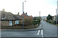
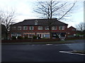
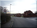
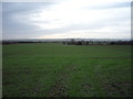
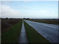

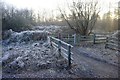
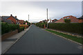
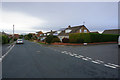
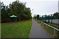
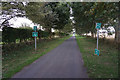
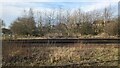
63 photos from this area
Area Information
Key information about the YO12 4UQ including its size, population, and administrative classification.
- Area Type
- Postcode
- Area Size
- 1.2 hectares
- Population
- 1752
- Population Density
- 114 people/km²
House Prices in YO12 4UQ
19
Properties
£148,105
Average Sold Price
£58,950
Lowest Price
£273,000
Highest Price
Showing 19 properties
| Address | Type | Beds | Baths | Last Sale Price | Last Sale Date | |
|---|---|---|---|---|---|---|
| 10 Magpie Garth, Crossgates, Scarborough, YO12 4UQ | house | - | - | £195,000 | Apr 2021 | |
| 4 Magpie Garth, Crossgates, Scarborough, YO12 4UQ | Terraced | 3 | - | £148,500 | Dec 2017 | |
| 18 Magpie Garth, Crossgates, Scarborough, YO12 4UQ | Detached | 4 | - | £270,000 | Nov 2017 | |
| 11 Magpie Garth, Crossgates, Scarborough, YO12 4UQ | Detached | 5 | 3 | £273,000 | Aug 2017 | |
| 1 Magpie Garth, Crossgates, Scarborough, YO12 4UQ | Semi-detached | 3 | 2 | £185,000 | Dec 2015 | |
| 12 Magpie Garth, Crossgates, Scarborough, YO12 4UQ | house | - | - | £175,000 | Feb 2015 | |
| 8 Magpie Garth, Crossgates, Scarborough, YO12 4UQ | Terraced | 2 | 1 | £121,000 | Dec 2014 | |
| 14 Magpie Garth, Crossgates, Scarborough, YO12 4UQ | house | - | - | £150,950 | Dec 2011 | |
| 3 Magpie Garth, Crossgates, Scarborough, YO12 4UQ | house | 3 | 2 | £177,500 | Aug 2010 | |
| 15 Magpie Garth, Crossgates, Scarborough, YO12 4UQ | Detached | - | - | £191,450 | Apr 2004 |
Page 1 of 2
Energy Efficiency in YO12 4UQ
Amenities
Schools
| Rank | School | Type | Entry gender | Ages |
|---|
Explore more schools in this area
Go to Schools tabDemographics
Household Size
Two person
most common
Accommodation Type
Houses
most common
Tenure
86
majority
Ethnic Group
White
most common
Religion
N/A
most common
Household Composition
N/A
most common
Age
47
median
Adults (30-64 years)
most common
Household Deprivation
N/A
with no deprivation
NS-SEC
33
in Lower managerial occupations
Explore more demographic insights in this area
Go to Demographics tabPlanning
Planning Constraints
- Flood RiskPremium
- Ramsar Wetland SitesPremium
- Area of Outstanding Natural BeautyPremium
- Protected Nature ReservePremium
- Protected WoodlandPremium