Area Overview for YO12 4JJ
Photos of YO12 4JJ
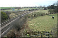
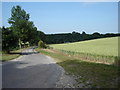
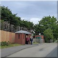
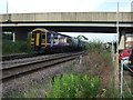
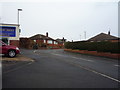
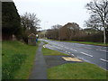
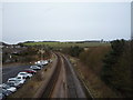
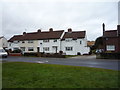
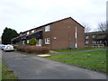
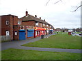
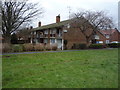
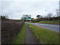
56 photos from this area
Area Information
Key information about the YO12 4JJ including its size, population, and administrative classification.
- Area Type
- Postcode
- Area Size
- 2.1 hectares
- Population
- 1339
- Population Density
- 1667 people/km²
House Prices in YO12 4JJ
35
Properties
£133,648
Average Sold Price
£39,500
Lowest Price
£256,750
Highest Price
Showing 35 properties
| Address | Type | Beds | Baths | Last Sale Price | Last Sale Date | |
|---|---|---|---|---|---|---|
| 15 Rydal Crescent, Crossgates, Scarborough, YO12 4JJ | Semi-detached | 3 | 1 | £170,000 | Mar 2025 | |
| 33 Rydal Crescent, Crossgates, Scarborough, YO12 4JJ | Bungalow | - | - | £170,000 | Jul 2023 | |
| 4 Rydal Crescent, Crossgates, Scarborough, YO12 4JJ | Bungalow | 2 | - | £124,000 | May 2021 | |
| 18 Rydal Crescent, Crossgates, Scarborough, YO12 4JJ | Bungalow | 2 | 2 | £163,000 | Sep 2020 | |
| 27 Rydal Crescent, Crossgates, Scarborough, YO12 4JJ | house | - | - | £184,000 | Oct 2019 | |
| 41 Rydal Crescent, Crossgates, Scarborough, YO12 4JJ | Detached | 4 | 4 | £256,750 | Jan 2018 | |
| 35 Rydal Crescent, Crossgates, Scarborough, YO12 4JJ | Semi-detached | 3 | - | £176,000 | Jan 2017 | |
| 14 Rydal Crescent, Crossgates, Scarborough, YO12 4JJ | house | - | - | £119,950 | May 2016 | |
| 16 Rydal Crescent, Crossgates, Scarborough, YO12 4JJ | Bungalow | 2 | - | £105,000 | May 2015 | |
| 26 Rydal Crescent, Crossgates, Scarborough, YO12 4JJ | Bungalow | - | - | £117,000 | Jan 2014 |
Page 1 of 4
Energy Efficiency in YO12 4JJ
Amenities
Schools
| Rank | School | Type | Entry gender | Ages |
|---|
Explore more schools in this area
Go to Schools tabDemographics
Household Size
Two person
most common
Accommodation Type
Houses
most common
Tenure
91
majority
Ethnic Group
White
most common
Religion
N/A
most common
Household Composition
N/A
most common
Age
47
median
Adults (30-64 years)
most common
Household Deprivation
N/A
with no deprivation
NS-SEC
29
in Lower managerial occupations
Explore more demographic insights in this area
Go to Demographics tabPlanning
Planning Constraints
- Flood RiskPremium
- Ramsar Wetland SitesPremium
- Area of Outstanding Natural BeautyPremium
- Protected Nature ReservePremium
- Protected WoodlandPremium