Area Overview for YO10 5HJ
Photos of YO10 5HJ
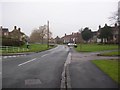
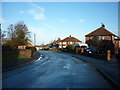
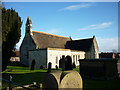

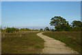
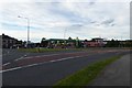
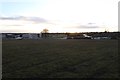
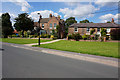
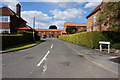
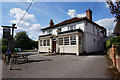
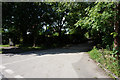
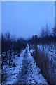
100 photos from this area
Area Information
Key information about the YO10 5HJ including its size, population, and administrative classification.
- Area Type
- Postcode
- Area Size
- 7474 m²
- Population
- 1724
- Population Density
- 4110 people/km²
House Prices in YO10 5HJ
18
Properties
£230,909
Average Sold Price
£70,500
Lowest Price
£335,500
Highest Price
Showing 18 properties
| Address | Type | Beds | Baths | Last Sale Price | Last Sale Date | |
|---|---|---|---|---|---|---|
| 15 Foxthorn Paddock, York, YO10 5HJ | Bungalow | 3 | 1 | £290,000 | May 2023 | |
| 27 Foxthorn Paddock, York, YO10 5HJ | Semi-detached | 3 | 1 | £335,500 | Jan 2023 | |
| 8 Foxthorn Paddock, York, YO10 5HJ | Detached | 4 | 1 | £315,000 | Oct 2018 | |
| 13 Foxthorn Paddock, York, YO10 5HJ | Detached | 4 | - | £320,000 | Jun 2015 | |
| 1 Foxthorn Paddock, York, YO10 5HJ | house | - | - | £195,000 | Jun 2011 | |
| 4 Foxthorn Paddock, York, YO10 5HJ | house | 6 | 2 | £195,000 | Aug 2010 | |
| 2 Foxthorn Paddock, York, YO10 5HJ | house | 6 | 2 | £225,000 | Sep 2007 | |
| 25 Foxthorn Paddock, York, YO10 5HJ | house | - | - | £227,000 | Aug 2007 | |
| 21 Foxthorn Paddock, York, YO10 5HJ | house | - | - | £245,000 | Nov 2006 | |
| 19 Foxthorn Paddock, York, YO10 5HJ | house | - | - | £122,000 | Apr 2001 |
Page 1 of 2
Energy Efficiency in YO10 5HJ
Amenities
Schools
| Rank | School | Type | Entry gender | Ages |
|---|
Explore more schools in this area
Go to Schools tabDemographics
Household Size
Two person
most common
Accommodation Type
Houses
most common
Tenure
73
majority
Ethnic Group
White
most common
Religion
N/A
most common
Household Composition
N/A
most common
Age
47
median
Young Adults (15-29 years)
most common
Household Deprivation
N/A
with no deprivation
NS-SEC
26
in Lower managerial occupations
Explore more demographic insights in this area
Go to Demographics tabPlanning
Planning Constraints
- Flood RiskPremium
- Ramsar Wetland SitesPremium
- Area of Outstanding Natural BeautyPremium
- Protected Nature ReservePremium
- Protected WoodlandPremium