Area Overview for YO10 3JU
Photos of YO10 3JU
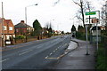
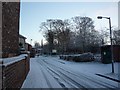
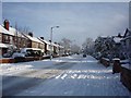
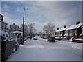

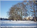
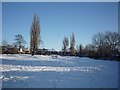
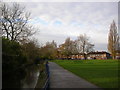
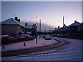
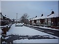

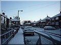
100 photos from this area
Area Information
Key information about the YO10 3JU including its size, population, and administrative classification.
- Area Type
- Postcode
- Area Size
- 8001 m²
- Population
- 1605
- Population Density
- 6420 people/km²
House Prices in YO10 3JU
17
Properties
£149,972
Average Sold Price
£56,000
Lowest Price
£268,000
Highest Price
Showing 17 properties
| Address | Type | Beds | Baths | Last Sale Price | Last Sale Date | |
|---|---|---|---|---|---|---|
| 135 Hull Road, York, YO10 3JU | Terraced | 3 | 2 | £188,000 | Apr 2014 | |
| 117 Hull Road, York, YO10 3JU | Semi-detached | - | - | £236,500 | Feb 2008 | |
| 115 Hull Road, York, YO10 3JU | Semi-detached | 4 | 2 | £268,000 | Feb 2008 | |
| 111 Hull Road, York, YO10 3JU | Terraced | - | - | £158,995 | Oct 2005 | |
| 133 Hull Road, York, YO10 3JU | house | - | - | £170,000 | Jul 2004 | |
| 129 Hull Road, York, YO10 3JU | house | - | - | £130,000 | Jan 2001 | |
| 107 Hull Road, York, YO10 3JU | Terraced | - | - | £60,000 | Aug 1997 | |
| 123 Hull Road, York, YO10 3JU | Semi-detached | - | - | £82,250 | Mar 1997 | |
| 109 Hull Road, York, YO10 3JU | Terraced | - | - | £56,000 | Mar 1997 | |
| 119 Hull Road, York, YO10 3JU | house | - | - | - | - |
Page 1 of 2
Energy Efficiency in YO10 3JU
Amenities
Schools
| Rank | School | Type | Entry gender | Ages |
|---|
Explore more schools in this area
Go to Schools tabDemographics
Household Size
Family (3-5 people)
most common
Accommodation Type
Houses
most common
Tenure
55
majority
Ethnic Group
White
most common
Religion
N/A
most common
Household Composition
N/A
most common
Age
22
median
Young Adults (15-29 years)
most common
Household Deprivation
N/A
with no deprivation
NS-SEC
19
in Lower managerial occupations
Explore more demographic insights in this area
Go to Demographics tabPlanning
Planning Constraints
- Flood RiskPremium
- Ramsar Wetland SitesPremium
- Area of Outstanding Natural BeautyPremium
- Protected Nature ReservePremium
- Protected WoodlandPremium