Area Overview for YO10 3HU
Photos of YO10 3HU
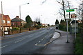
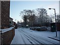
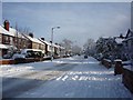
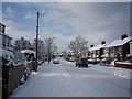
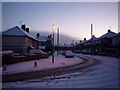
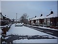

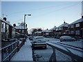
100 photos from this area
Area Information
Key information about the YO10 3HU including its size, population, and administrative classification.
- Area Type
- Postcode
- Area Size
- 2.3 hectares
- Population
- 1893
- Population Density
- 5903 people/km²
House Prices in YO10 3HU
41
Properties
£226,173
Average Sold Price
£69,195
Lowest Price
£480,000
Highest Price
Showing 41 properties
| Address | Type | Beds | Baths | Last Sale Price | Last Sale Date | |
|---|---|---|---|---|---|---|
| 46 Thief Lane, York, YO10 3HU | house | 5 | - | £480,000 | Nov 2025 | |
| 62 Thief Lane, York, YO10 3HU | Semi-detached | 3 | 1 | £300,000 | Sep 2025 | |
| 96 Thief Lane, York, YO10 3HU | house | 5 | - | £450,000 | Mar 2025 | |
| 110 Thief Lane, York, YO10 3HU | Semi-detached | 3 | 1 | £310,000 | Jan 2024 | |
| 76 Thief Lane, York, YO10 3HU | Semi-detached | 3 | 1 | £350,000 | Nov 2022 | |
| 108 Thief Lane, York, YO10 3HU | house | - | - | £280,000 | Jan 2022 | |
| 74 Thief Lane, York, YO10 3HU | house | - | - | £230,000 | Sep 2021 | |
| 100 Thief Lane, York, YO10 3HU | Semi-detached | 3 | - | £270,000 | Dec 2020 | |
| 60 Thief Lane, York, YO10 3HU | Semi-detached | 3 | - | £224,000 | Jul 2018 | |
| 70 Thief Lane, York, YO10 3HU | house | - | - | £258,000 | Jul 2016 |
Page 1 of 5
Energy Efficiency in YO10 3HU
Amenities
Schools
| Rank | School | Type | Entry gender | Ages |
|---|
Explore more schools in this area
Go to Schools tabDemographics
Household Size
Family (3-5 people)
most common
Accommodation Type
Houses
most common
Tenure
45
majority
Ethnic Group
White
most common
Religion
N/A
most common
Household Composition
N/A
most common
Age
22
median
Young Adults (15-29 years)
most common
Household Deprivation
N/A
with no deprivation
NS-SEC
18
in Lower managerial occupations
Explore more demographic insights in this area
Go to Demographics tabPlanning
Planning Constraints
- Flood RiskPremium
- Ramsar Wetland SitesPremium
- Area of Outstanding Natural BeautyPremium
- Protected Nature ReservePremium
- Protected WoodlandPremium