Area Overview for YO10 3EN
Photos of YO10 3EN
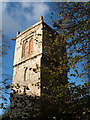
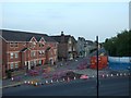
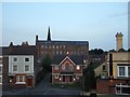
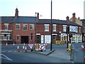
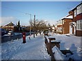
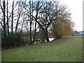
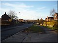
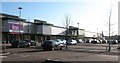
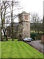
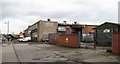
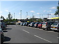
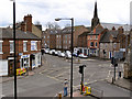
100 photos from this area
Area Information
Key information about the YO10 3EN including its size, population, and administrative classification.
- Area Type
- Postcode
- Area Size
- 7738 m²
- Population
- 1602
- Population Density
- 3141 people/km²
House Prices in YO10 3EN
7
Properties
£177,667
Average Sold Price
£162,000
Lowest Price
£190,000
Highest Price
Showing 7 properties
| Address | Type | Beds | Baths | Last Sale Price | Last Sale Date | |
|---|---|---|---|---|---|---|
| The Old Stables, 38 Bull Lane, Guildhall, York, YO10 3EN | Retail | 1 | 1 | £190,000 | Apr 2022 | |
| 39 Bull Lane, Guildhall, York, YO10 3EN | house | - | - | £181,000 | Jan 2022 | |
| 1 Bull Lane, Guildhall, York, YO10 3EN | Semi-detached | 2 | 1 | £162,000 | Dec 2016 | |
| 2 Bull Lane, Guildhall, York, YO10 3EN | house | - | - | - | - | |
| 101 Bull Lane, Guildhall, York, YO10 3EN | Flat | - | - | - | - | |
| 102 Bull Lane, Guildhall, York, YO10 3EN | Flat | - | - | - | - | |
| Imam's Accommodation, York Mosque And Islamic Centre, Bull Lane, Guildhall, York, YO10 3EN | Flat | - | - | - | - |
Energy Efficiency in YO10 3EN
Amenities
Schools
| Rank | School | Type | Entry gender | Ages |
|---|
Explore more schools in this area
Go to Schools tabDemographics
Household Size
One person
most common
Accommodation Type
Flats
most common
Tenure
21
majority
Ethnic Group
White
most common
Religion
N/A
most common
Household Composition
N/A
most common
Age
47
median
Adults (30-64 years)
most common
Household Deprivation
N/A
with no deprivation
NS-SEC
26
in Lower managerial occupations
Explore more demographic insights in this area
Go to Demographics tabPlanning
Planning Constraints
- Flood RiskPremium
- Ramsar Wetland SitesPremium
- Area of Outstanding Natural BeautyPremium
- Protected Nature ReservePremium
- Protected WoodlandPremium