Area Overview for YO10 3DB
Photos of YO10 3DB
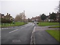
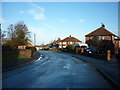
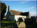
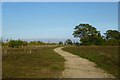
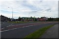
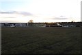
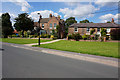
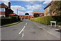
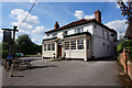
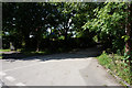
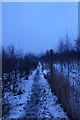
100 photos from this area
Area Information
Key information about the YO10 3DB including its size, population, and administrative classification.
- Area Type
- Postcode
- Area Size
- 8815 m²
- Population
- 1577
- Population Density
- 6571 people/km²
House Prices in YO10 3DB
22
Properties
£216,673
Average Sold Price
£92,000
Lowest Price
£392,500
Highest Price
Showing 22 properties
| Address | Type | Beds | Baths | Last Sale Price | Last Sale Date | |
|---|---|---|---|---|---|---|
| 16 Sadberge Court, York, YO10 3DB | Detached | 4 | - | £392,500 | Dec 2022 | |
| 6 Sadberge Court, York, YO10 3DB | house | - | - | £183,000 | Jul 2018 | |
| 22 Sadberge Court, York, YO10 3DB | Detached | 4 | 2 | £345,000 | Apr 2018 | |
| 13 Sadberge Court, York, YO10 3DB | Detached | 5 | - | £300,000 | Oct 2017 | |
| 24 Sadberge Court, York, YO10 3DB | Bungalow | 3 | 1 | £216,000 | Dec 2013 | |
| 11 Sadberge Court, York, YO10 3DB | Detached | - | - | £250,000 | Sep 2008 | |
| 12 Sadberge Court, York, YO10 3DB | Detached | - | - | £245,000 | Mar 2007 | |
| 15 Sadberge Court, York, YO10 3DB | Bungalow | - | - | £170,000 | May 2006 | |
| 8 Sadberge Court, York, YO10 3DB | Terraced | - | - | £152,000 | Jan 2006 | |
| 17 Sadberge Court, York, YO10 3DB | Detached | - | - | £270,000 | Apr 2005 |
Page 1 of 3
Energy Efficiency in YO10 3DB
Amenities
Schools
| Rank | School | Type | Entry gender | Ages |
|---|
Explore more schools in this area
Go to Schools tabDemographics
Household Size
Family (3-5 people)
most common
Accommodation Type
Houses
most common
Tenure
51
majority
Ethnic Group
White
most common
Religion
N/A
most common
Household Composition
N/A
most common
Age
22
median
Young Adults (15-29 years)
most common
Household Deprivation
N/A
with no deprivation
NS-SEC
21
in Lower managerial occupations
Explore more demographic insights in this area
Go to Demographics tabPlanning
Planning Constraints
- Flood RiskPremium
- Ramsar Wetland SitesPremium
- Area of Outstanding Natural BeautyPremium
- Protected Nature ReservePremium
- Protected WoodlandPremium