Area Overview for YO1 9UA
Photos of YO1 9UA

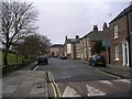
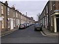
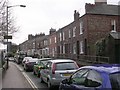
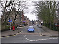
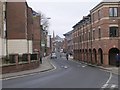
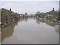
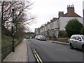
100 photos from this area
Area Information
Key information about the YO1 9UA including its size, population, and administrative classification.
- Area Type
- Postcode
- Area Size
- 2396 m²
- Population
- 1602
- Population Density
- 3141 people/km²
House Prices in YO1 9UA
11
Properties
£171,333
Average Sold Price
£132,000
Lowest Price
£197,000
Highest Price
Showing 11 properties
| Address | Type | Beds | Baths | Last Sale Price | Last Sale Date | |
|---|---|---|---|---|---|---|
| 89 Walmgate, York, YO1 9UA | Flat | 2 | 1 | £185,000 | Feb 2022 | |
| 87 Walmgate, York, YO1 9UA | Flat | 2 | 1 | £197,000 | Jul 2019 | |
| 91 Walmgate, York, YO1 9UA | Flat | 2 | 1 | £132,000 | Mar 2016 | |
| 115 Walmgate, York, YO1 9UA | Flat | - | - | - | - | |
| 93 Walmgate, York, YO1 9UA | Flat | - | - | - | - | |
| 113 Walmgate, York, YO1 9UA | Flat | - | - | - | - | |
| 117 Walmgate, York, YO1 9UA | Flat | - | - | - | - | |
| Post Office, 85 Walmgate, York, YO1 9UA | Retail | - | - | - | - | |
| 109 Walmgate, York, YO1 9UA | retail_financial | - | - | - | - | |
| The Cyrenians Ltd, Bowes Morrell House, 111 Walmgate, York, YO1 9UA | office_workshop | - | - | - | - |
Page 1 of 2
Energy Efficiency in YO1 9UA
Amenities
Schools
| Rank | School | Type | Entry gender | Ages |
|---|
Explore more schools in this area
Go to Schools tabDemographics
Household Size
One person
most common
Accommodation Type
Flats
most common
Tenure
21
majority
Ethnic Group
White
most common
Religion
N/A
most common
Household Composition
N/A
most common
Age
47
median
Adults (30-64 years)
most common
Household Deprivation
N/A
with no deprivation
NS-SEC
26
in Lower managerial occupations
Explore more demographic insights in this area
Go to Demographics tabPlanning
Planning Constraints
- Flood RiskPremium
- Ramsar Wetland SitesPremium
- Area of Outstanding Natural BeautyPremium
- Protected Nature ReservePremium
- Protected WoodlandPremium