Area Overview for YO1 9SX
Photos of YO1 9SX
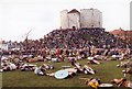
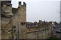

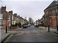
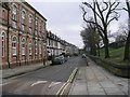
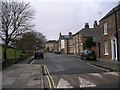
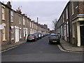
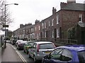
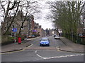
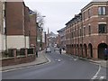
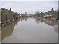
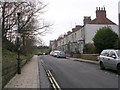
100 photos from this area
Area Information
Key information about the YO1 9SX including its size, population, and administrative classification.
- Area Type
- Postcode
- Area Size
- 1561 m²
- Population
- 2668
- Population Density
- 7640 people/km²
House Prices in YO1 9SX
22
Properties
£317,643
Average Sold Price
£195,000
Lowest Price
£530,000
Highest Price
Showing 22 properties
| Address | Type | Beds | Baths | Last Sale Price | Last Sale Date | |
|---|---|---|---|---|---|---|
| 5, John Walker House, Dixons Yard, York, YO1 9SX | Flat | - | - | £380,000 | Dec 2022 | |
| 14, John Walker House, Dixons Yard, York, YO1 9SX | Flat | - | - | £525,000 | Sep 2021 | |
| 26, John Walker House, Dixons Yard, York, YO1 9SX | Flat | - | - | £530,000 | Dec 2020 | |
| 1, John Walker House, Dixons Yard, York, YO1 9SX | Flat | - | - | £515,000 | Jul 2017 | |
| 18, John Walker House, Dixons Yard, York, YO1 9SX | Flat | 2 | 2 | £285,000 | Feb 2016 | |
| 4, John Walker House, Dixons Yard, York, YO1 9SX | Flat | 2 | 2 | £287,500 | Jan 2016 | |
| 7, John Walker House, Dixons Yard, York, YO1 9SX | Flat | - | - | £325,000 | Sep 2014 | |
| 24, John Walker House, Dixons Yard, York, YO1 9SX | Flat | - | - | £250,000 | Sep 2013 | |
| 9, John Walker House, Dixons Yard, York, YO1 9SX | Flat | 2 | 2 | £250,000 | Sep 2013 | |
| 17, John Walker House, Dixons Yard, York, YO1 9SX | Flat | 3 | 3 | £445,000 | Nov 2012 |
Page 1 of 3
Energy Efficiency in YO1 9SX
Amenities
Schools
| Rank | School | Type | Entry gender | Ages |
|---|
Explore more schools in this area
Go to Schools tabDemographics
Household Size
One person
most common
Accommodation Type
Flats
most common
Tenure
26
majority
Ethnic Group
White
most common
Religion
N/A
most common
Household Composition
N/A
most common
Age
22
median
Young Adults (15-29 years)
most common
Household Deprivation
N/A
with no deprivation
NS-SEC
20
in Lower managerial occupations
Explore more demographic insights in this area
Go to Demographics tabPlanning
Planning Constraints
- Flood RiskPremium
- Ramsar Wetland SitesPremium
- Area of Outstanding Natural BeautyPremium
- Protected Nature ReservePremium
- Protected WoodlandPremium