Area Overview for YO1 7NE
Photos of YO1 7NE
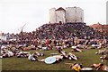
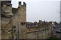

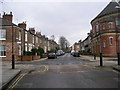
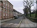
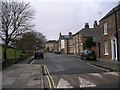
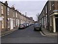
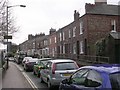
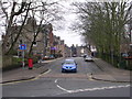
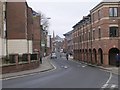
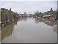
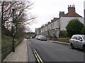
100 photos from this area
Area Information
Key information about the YO1 7NE including its size, population, and administrative classification.
- Area Type
- Postcode
- Area Size
- 2.5 hectares
- Population
- 1602
- Population Density
- 3141 people/km²
House Prices in YO1 7NE
77
Properties
£178,954
Average Sold Price
£67,653
Lowest Price
£405,000
Highest Price
Showing 77 properties
| Address | Type | Beds | Baths | Last Sale Price | Last Sale Date | |
|---|---|---|---|---|---|---|
| 67, Cordwainers Court, Black Horse Lane, York, YO1 7NE | Flat | 1 | 1 | £170,000 | Nov 2025 | |
| 14, Cordwainers Court, Black Horse Lane, York, YO1 7NE | Flat | - | - | £205,000 | Oct 2025 | |
| 39, Cordwainers Court, Black Horse Lane, York, YO1 7NE | Flat | 1 | 1 | £196,000 | Jun 2025 | |
| 59, Cordwainers Court, Black Horse Lane, York, YO1 7NE | Flat | 1 | 1 | £113,256 | Jun 2025 | |
| 25, Cordwainers Court, Black Horse Lane, York, YO1 7NE | Flat | - | - | £240,000 | Dec 2024 | |
| 74, Cordwainers Court, Black Horse Lane, York, YO1 7NE | Flat | - | - | £195,000 | Feb 2024 | |
| 23, Cordwainers Court, Black Horse Lane, York, YO1 7NE | Flat | - | - | £133,354 | Nov 2023 | |
| 12, Cordwainers Court, Black Horse Lane, York, YO1 7NE | Flat | 2 | 2 | £280,000 | Aug 2022 | |
| 49, Cordwainers Court, Black Horse Lane, York, YO1 7NE | Flat | 1 | 1 | £170,000 | Aug 2022 | |
| 56, Cordwainers Court, Black Horse Lane, York, YO1 7NE | Flat | 2 | 1 | £230,000 | Jun 2022 |
Page 1 of 8
Energy Efficiency in YO1 7NE
Amenities
Schools
| Rank | School | Type | Entry gender | Ages |
|---|
Explore more schools in this area
Go to Schools tabDemographics
Household Size
One person
most common
Accommodation Type
Flats
most common
Tenure
21
majority
Ethnic Group
White
most common
Religion
N/A
most common
Household Composition
N/A
most common
Age
47
median
Adults (30-64 years)
most common
Household Deprivation
N/A
with no deprivation
NS-SEC
26
in Lower managerial occupations
Explore more demographic insights in this area
Go to Demographics tabPlanning
Planning Constraints
- Flood RiskPremium
- Ramsar Wetland SitesPremium
- Area of Outstanding Natural BeautyPremium
- Protected Nature ReservePremium
- Protected WoodlandPremium