Area Overview for WF9 5DU
Photos of WF9 5DU
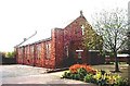
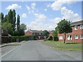
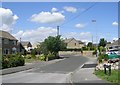
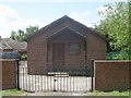
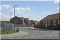
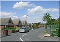
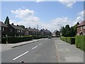
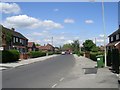
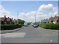
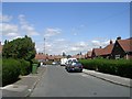
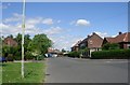
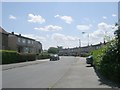
98 photos from this area
Area Information
Key information about the WF9 5DU including its size, population, and administrative classification.
- Area Type
- Postcode
- Area Size
- 14.2 hectares
- Population
- 1518
- Population Density
- 482 people/km²
House Prices in WF9 5DU
14
Properties
£147,333
Average Sold Price
£92,000
Lowest Price
£180,000
Highest Price
Showing 14 properties
| Address | Type | Beds | Baths | Last Sale Price | Last Sale Date | |
|---|---|---|---|---|---|---|
| Windy Ridge Farm, Farm Lane, Fitzwilliam, Pontefract, WF9 5DU | Bungalow | 2 | 1 | £170,000 | Dec 2018 | |
| Dale End, Farm Lane, Fitzwilliam, Pontefract, WF9 5DU | Detached | - | - | £180,000 | May 2012 | |
| 41 Farm Lane, Fitzwilliam, Pontefract, WF9 5DU | house | - | - | £92,000 | Jul 2006 | |
| Holmlea, Farm Lane, Fitzwilliam, Pontefract, WF9 5DU | Detached | 3 | 1 | - | - | |
| 35 Farm Lane, Fitzwilliam, Pontefract, WF9 5DU | Terraced | - | - | - | - | |
| Hill Crest, Farm Lane, Fitzwilliam, Pontefract, WF9 5DU | Bungalow | - | - | - | - | |
| 37 Farm Lane, Fitzwilliam, Pontefract, WF9 5DU | Terraced | - | - | - | - | |
| 39 Farm Lane, Fitzwilliam, Pontefract, WF9 5DU | Terraced | - | - | - | - | |
| Ings House, Farm Lane, Fitzwilliam, Pontefract, WF9 5DU | Terraced | - | - | - | - | |
| 31 Farm Lane, Fitzwilliam, Pontefract, WF9 5DU | house | - | - | - | - |
Page 1 of 2
Energy Efficiency in WF9 5DU
Amenities
Schools
| Rank | School | Type | Entry gender | Ages |
|---|
Explore more schools in this area
Go to Schools tabDemographics
Household Size
Family (3-5 people)
most common
Accommodation Type
Houses
most common
Tenure
54
majority
Ethnic Group
White
most common
Religion
N/A
most common
Household Composition
N/A
most common
Age
47
median
Adults (30-64 years)
most common
Household Deprivation
N/A
with no deprivation
NS-SEC
17
in Lower managerial occupations
Explore more demographic insights in this area
Go to Demographics tabPlanning
Planning Constraints
- Flood RiskPremium
- Ramsar Wetland SitesPremium
- Area of Outstanding Natural BeautyPremium
- Protected Nature ReservePremium
- Protected WoodlandPremium