Area Overview for WF9 4BL
Photos of WF9 4BL
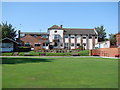

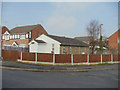
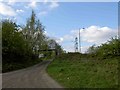
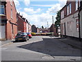

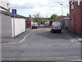
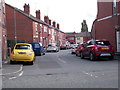
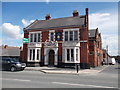
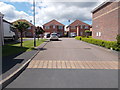

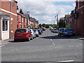
66 photos from this area
Area Information
Key information about the WF9 4BL including its size, population, and administrative classification.
- Area Type
- Postcode
- Area Size
- 7539 m²
- Population
- 1658
- Population Density
- 390 people/km²
House Prices in WF9 4BL
40
Properties
£71,819
Average Sold Price
£27,000
Lowest Price
£134,950
Highest Price
Showing 40 properties
| Address | Type | Beds | Baths | Last Sale Price | Last Sale Date | |
|---|---|---|---|---|---|---|
| 13 Grove Avenue, Hemsworth, Pontefract, WF9 4BL | Terraced | 2 | 1 | £125,000 | Feb 2025 | |
| 6 Grove Avenue, Hemsworth, Pontefract, WF9 4BL | Terraced | 2 | 1 | £125,000 | Feb 2025 | |
| 30 Grove Avenue, Hemsworth, Pontefract, WF9 4BL | Terraced | 2 | 1 | £115,000 | Sep 2024 | |
| 39 Grove Avenue, Hemsworth, Pontefract, WF9 4BL | Terraced | 3 | 1 | £100,000 | Jul 2024 | |
| 27 Grove Avenue, Hemsworth, Pontefract, WF9 4BL | Terraced | 2 | 1 | £112,000 | Jun 2024 | |
| 3 Grove Avenue, Hemsworth, Pontefract, WF9 4BL | Terraced | 2 | 1 | £105,000 | Sep 2022 | |
| 41 Grove Avenue, Hemsworth, Pontefract, WF9 4BL | Terraced | 3 | 1 | £134,950 | Jul 2022 | |
| 17 Grove Avenue, Hemsworth, Pontefract, WF9 4BL | Terraced | 2 | 1 | £98,500 | Jun 2022 | |
| 7 Grove Avenue, Hemsworth, Pontefract, WF9 4BL | Terraced | 2 | 1 | £85,000 | Jun 2022 | |
| 40 Grove Avenue, Hemsworth, Pontefract, WF9 4BL | Terraced | 3 | 1 | £50,000 | Oct 2021 |
Page 1 of 4
Energy Efficiency in WF9 4BL
Amenities
Schools
| Rank | School | Type | Entry gender | Ages |
|---|
Explore more schools in this area
Go to Schools tabDemographics
Household Size
Two person
most common
Accommodation Type
Houses
most common
Tenure
80
majority
Ethnic Group
White
most common
Religion
N/A
most common
Household Composition
N/A
most common
Age
47
median
Adults (30-64 years)
most common
Household Deprivation
N/A
with no deprivation
NS-SEC
28
in Lower managerial occupations
Explore more demographic insights in this area
Go to Demographics tabPlanning
Planning Constraints
- Flood RiskPremium
- Ramsar Wetland SitesPremium
- Area of Outstanding Natural BeautyPremium
- Protected Nature ReservePremium
- Protected WoodlandPremium