Area Overview for WF9 3LH
Photos of WF9 3LH
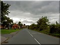
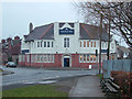
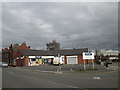
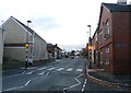
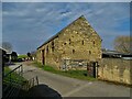
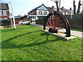
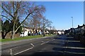
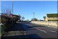
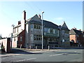
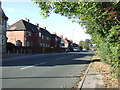
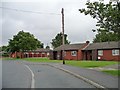
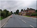
19 photos from this area
Area Information
Key information about the WF9 3LH including its size, population, and administrative classification.
- Area Type
- Postcode
- Area Size
- 1.6 hectares
- Population
- 2172
- Population Density
- 1584 people/km²
House Prices in WF9 3LH
29
Properties
£95,109
Average Sold Price
£14,000
Lowest Price
£180,000
Highest Price
Showing 29 properties
| Address | Type | Beds | Baths | Last Sale Price | Last Sale Date | |
|---|---|---|---|---|---|---|
| 17 White Apron Street, South Kirkby, Pontefract, WF9 3LH | Terraced | 2 | 1 | £125,000 | Jul 2025 | |
| The Birches, 7B White Apron Street, South Kirkby, Pontefract, WF9 3LH | house | - | - | £180,000 | Mar 2021 | |
| 28 White Apron Street, South Kirkby, Pontefract, WF9 3LH | Semi-detached | 3 | 1 | £102,000 | Feb 2021 | |
| 7 White Apron Street, South Kirkby, Pontefract, WF9 3LH | Semi-detached | 3 | 1 | £145,500 | Aug 2019 | |
| 9 White Apron Street, South Kirkby, Pontefract, WF9 3LH | Semi-detached | 4 | - | £108,000 | Apr 2019 | |
| 21 White Apron Street, South Kirkby, Pontefract, WF9 3LH | Detached | 3 | 1 | £15,000 | Dec 2018 | |
| 11 White Apron Street, South Kirkby, Pontefract, WF9 3LH | Semi-detached | 3 | 1 | £115,000 | Jul 2015 | |
| 1A White Apron Street, South Kirkby, Pontefract, WF9 3LH | Detached | 3 | 1 | £110,000 | Apr 2014 | |
| 5 White Apron Street, South Kirkby, Pontefract, WF9 3LH | Semi-detached | 3 | 1 | £124,995 | Feb 2014 | |
| 32 White Apron Street, South Kirkby, Pontefract, WF9 3LH | Flat | - | - | £33,425 | May 2012 |
Page 1 of 3
Energy Efficiency in WF9 3LH
Amenities
Schools
| Rank | School | Type | Entry gender | Ages |
|---|
Explore more schools in this area
Go to Schools tabDemographics
Household Size
Family (3-5 people)
most common
Accommodation Type
Houses
most common
Tenure
61
majority
Ethnic Group
White
most common
Religion
N/A
most common
Household Composition
N/A
most common
Age
47
median
Adults (30-64 years)
most common
Household Deprivation
N/A
with no deprivation
NS-SEC
24
in Lower managerial occupations
Explore more demographic insights in this area
Go to Demographics tabPlanning
Planning Constraints
- Flood RiskPremium
- Ramsar Wetland SitesPremium
- Area of Outstanding Natural BeautyPremium
- Protected Nature ReservePremium
- Protected WoodlandPremium