Area Overview for WF9 1HQ
Photos of WF9 1HQ
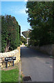
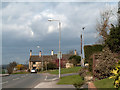
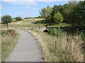
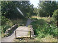
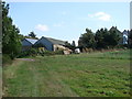
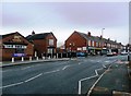
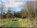
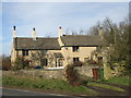
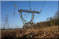
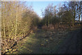
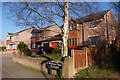
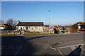
54 photos from this area
Area Information
Key information about the WF9 1HQ including its size, population, and administrative classification.
- Area Type
- Postcode
- Area Size
- 1.4 hectares
- Population
- 1465
- Population Density
- 1215 people/km²
House Prices in WF9 1HQ
13
Properties
£181,832
Average Sold Price
£10,000
Lowest Price
£575,000
Highest Price
Showing 13 properties
| Address | Type | Beds | Baths | Last Sale Price | Last Sale Date | |
|---|---|---|---|---|---|---|
| 52C High Street, Upton, Pontefract, WF9 1HQ | Detached | 4 | - | £575,000 | May 2022 | |
| The Old Police Station, 50A High Street, Upton, Pontefract, WF9 1HQ | Terraced | 4 | 2 | £265,000 | Sep 2017 | |
| Tea Pot Corner, High Street, Upton, Pontefract, WF9 1HQ | Detached | 3 | - | £232,500 | May 2014 | |
| 52 High Street, Upton, Pontefract, WF9 1HQ | house | - | - | £155,000 | Feb 2013 | |
| 46 High Street, Upton, Pontefract, WF9 1HQ | house | - | - | £149,995 | Jan 2008 | |
| 42 High Street, Upton, Pontefract, WF9 1HQ | Semi-detached | 3 | 2 | £145,000 | Feb 2007 | |
| 56 High Street, Upton, Pontefract, WF9 1HQ | house | - | - | £10,000 | Jan 2003 | |
| 54 High Street, Upton, Pontefract, WF9 1HQ | Semi-detached | 2 | 1 | £44,000 | Sep 2002 | |
| 50 High Street, Upton, Pontefract, WF9 1HQ | Flat | - | - | £59,995 | Mar 1995 | |
| Cottage View, High Street, Upton, Pontefract, WF9 1HQ | Detached | - | - | - | - |
Page 1 of 2
Energy Efficiency in WF9 1HQ
Amenities
Schools
| Rank | School | Type | Entry gender | Ages |
|---|
Explore more schools in this area
Go to Schools tabDemographics
Household Size
Two person
most common
Accommodation Type
Houses
most common
Tenure
75
majority
Ethnic Group
White
most common
Religion
N/A
most common
Household Composition
N/A
most common
Age
47
median
Adults (30-64 years)
most common
Household Deprivation
N/A
with no deprivation
NS-SEC
25
in Lower managerial occupations
Explore more demographic insights in this area
Go to Demographics tabPlanning
Planning Constraints
- Flood RiskPremium
- Ramsar Wetland SitesPremium
- Area of Outstanding Natural BeautyPremium
- Protected Nature ReservePremium
- Protected WoodlandPremium