Area Overview for WF8 2HE
Photos of WF8 2HE

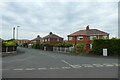
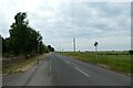
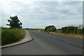
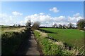
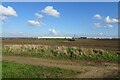
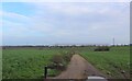
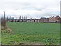
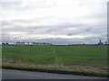
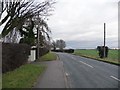
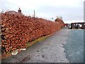
31 photos from this area
Area Information
Key information about the WF8 2HE including its size, population, and administrative classification.
- Area Type
- Postcode
- Area Size
- 1.2 km²
- Population
- 1561
- Population Density
- 109 people/km²
House Prices in WF8 2HE
24
Properties
£146,495
Average Sold Price
£65,000
Lowest Price
£210,000
Highest Price
Showing 24 properties
| Address | Type | Beds | Baths | Last Sale Price | Last Sale Date | |
|---|---|---|---|---|---|---|
| 174 Baghill Lane, Pontefract, WF8 2HE | Bungalow | 2 | 1 | £210,000 | Dec 2023 | |
| 154 Baghill Lane, Pontefract, WF8 2HE | Semi-detached | 3 | 1 | £160,000 | Nov 2019 | |
| 162 Baghill Lane, Pontefract, WF8 2HE | Semi-detached | 3 | 1 | £150,000 | Sep 2019 | |
| 168 Baghill Lane, Pontefract, WF8 2HE | Bungalow | 3 | 1 | £200,000 | Feb 2018 | |
| 184 Baghill Lane, Pontefract, WF8 2HE | Detached | - | - | £200,000 | Aug 2015 | |
| 176 Baghill Lane, Pontefract, WF8 2HE | Detached | - | - | £125,000 | Feb 2012 | |
| 160 Baghill Lane, Pontefract, WF8 2HE | house | - | - | £147,500 | Feb 2010 | |
| 164 Baghill Lane, Pontefract, WF8 2HE | Semi-detached | - | - | £122,500 | Sep 2006 | |
| 156 Baghill Lane, Pontefract, WF8 2HE | Semi-detached | 3 | 2 | £84,950 | Jun 2003 | |
| Kildare Bungalow, Baghill Lane, Pontefract, WF8 2HE | Detached | - | - | £65,000 | Oct 1996 |
Page 1 of 3
Energy Efficiency in WF8 2HE
Amenities
Schools
| Rank | School | Type | Entry gender | Ages |
|---|
Explore more schools in this area
Go to Schools tabDemographics
Household Size
Two person
most common
Accommodation Type
Houses
most common
Tenure
83
majority
Ethnic Group
White
most common
Religion
N/A
most common
Household Composition
N/A
most common
Age
47
median
Adults (30-64 years)
most common
Household Deprivation
N/A
with no deprivation
NS-SEC
41
in Lower managerial occupations
Explore more demographic insights in this area
Go to Demographics tabPlanning
Planning Constraints
- Flood RiskPremium
- Ramsar Wetland SitesPremium
- Area of Outstanding Natural BeautyPremium
- Protected Nature ReservePremium
- Protected WoodlandPremium