Area Overview for WF7 6HE
Photos of WF7 6HE
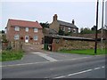
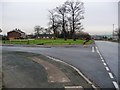
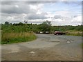
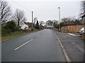
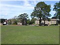


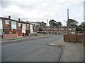
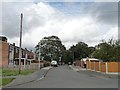

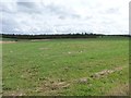
26 photos from this area
Area Information
Key information about the WF7 6HE including its size, population, and administrative classification.
- Area Type
- Postcode
- Area Size
- 11.9 hectares
- Population
- 1691
- Population Density
- 596 people/km²
House Prices in WF7 6HE
11
Properties
£341,875
Average Sold Price
£185,000
Lowest Price
£600,000
Highest Price
Showing 11 properties
| Address | Type | Beds | Baths | Last Sale Price | Last Sale Date | |
|---|---|---|---|---|---|---|
| Hawthorne Cottage, New Road, Old Snydale, Pontefract, WF7 6HE | Bungalow | - | - | £305,000 | Jun 2019 | |
| Sunnyside, New Road, Old Snydale, Pontefract, WF7 6HE | Bungalow | 3 | 1 | £277,500 | Dec 2018 | |
| The Lodge, New Road, Old Snydale, Pontefract, WF7 6HE | Bungalow | 5 | - | £600,000 | Jun 2012 | |
| The Stable, New Road, Old Snydale, Pontefract, WF7 6HE | Detached | - | - | £185,000 | Jul 2000 | |
| Common Side Farm, New Road, Old Snydale, Pontefract, WF7 6HE | Industrial | - | - | - | - | |
| The Stables Common Side Farm, New Road, Old Snydale, Pontefract, WF7 6HE | Flat | 3 | 1 | - | - | |
| Caravan At, Hawthorne Cottage, New Road, Old Snydale, Pontefract, WF7 6HE | Mobile Home | - | - | - | - | |
| Flat 1, The Stables Common Side Farm, New Road, Old Snydale, Pontefract, WF7 6HE | Flat | 3 | 1 | - | - | |
| Flat 2, The Stables Common Side Farm, New Road, Old Snydale, Pontefract, WF7 6HE | Flat | - | - | - | - | |
| Flat, Common Side Farm, New Road, Old Snydale, Pontefract, WF7 6HE | Flat | 1 | 1 | - | - |
Page 1 of 2
Energy Efficiency in WF7 6HE
Amenities
Schools
| Rank | School | Type | Entry gender | Ages |
|---|
Explore more schools in this area
Go to Schools tabDemographics
Household Size
Family (3-5 people)
most common
Accommodation Type
Houses
most common
Tenure
57
majority
Ethnic Group
White
most common
Religion
N/A
most common
Household Composition
N/A
most common
Age
47
median
Adults (30-64 years)
most common
Household Deprivation
N/A
with no deprivation
NS-SEC
22
in Lower managerial occupations
Explore more demographic insights in this area
Go to Demographics tabPlanning
Planning Constraints
- Flood RiskPremium
- Ramsar Wetland SitesPremium
- Area of Outstanding Natural BeautyPremium
- Protected Nature ReservePremium
- Protected WoodlandPremium