Area Overview for WF6 2QH
Photos of WF6 2QH
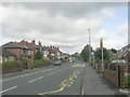
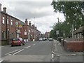
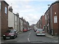
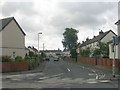
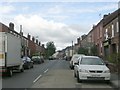
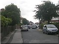
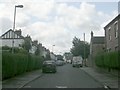
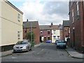
92 photos from this area
Area Information
Key information about the WF6 2QH including its size, population, and administrative classification.
- Area Type
- Postcode
- Area Size
- 6793 m²
- Population
- 1573
- Population Density
- 3752 people/km²
House Prices in WF6 2QH
19
Properties
£125,136
Average Sold Price
£32,500
Lowest Price
£300,000
Highest Price
Showing 19 properties
| Address | Type | Beds | Baths | Last Sale Price | Last Sale Date | |
|---|---|---|---|---|---|---|
| 23 King Street, Altofts, Normanton, WF6 2QH | Terraced | 3 | 2 | £182,000 | Dec 2024 | |
| 17 King Street, Altofts, Normanton, WF6 2QH | Terraced | 2 | 1 | £150,000 | Feb 2024 | |
| 9 King Street, Altofts, Normanton, WF6 2QH | house | 2 | 2 | £150,000 | Oct 2022 | |
| 1 King Street, Altofts, Normanton, WF6 2QH | house | - | - | £135,000 | Aug 2022 | |
| 5 King Street, Altofts, Normanton, WF6 2QH | Terraced | 2 | - | £140,000 | Aug 2022 | |
| 6 King Street, Altofts, Normanton, WF6 2QH | Bungalow | 3 | 2 | £300,000 | Dec 2017 | |
| 27 King Street, Altofts, Normanton, WF6 2QH | house | - | - | £100,000 | Jan 2009 | |
| 11 King Street, Altofts, Normanton, WF6 2QH | Terraced | - | - | £112,000 | Sep 2006 | |
| 19 King Street, Altofts, Normanton, WF6 2QH | Terraced | - | - | £35,000 | Sep 1999 | |
| 13 King Street, Altofts, Normanton, WF6 2QH | Terraced | 2 | - | £40,000 | Aug 1999 |
Page 1 of 2
Energy Efficiency in WF6 2QH
Amenities
Schools
| Rank | School | Type | Entry gender | Ages |
|---|
Explore more schools in this area
Go to Schools tabDemographics
Household Size
Two person
most common
Accommodation Type
Houses
most common
Tenure
85
majority
Ethnic Group
White
most common
Religion
N/A
most common
Household Composition
N/A
most common
Age
47
median
Adults (30-64 years)
most common
Household Deprivation
N/A
with no deprivation
NS-SEC
36
in Lower managerial occupations
Explore more demographic insights in this area
Go to Demographics tabPlanning
Planning Constraints
- Flood RiskPremium
- Ramsar Wetland SitesPremium
- Area of Outstanding Natural BeautyPremium
- Protected Nature ReservePremium
- Protected WoodlandPremium