Area Overview for WF6 2JU
Photos of WF6 2JU
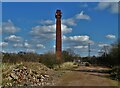
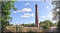

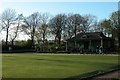
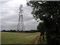
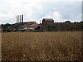
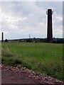
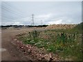
46 photos from this area
Area Information
Key information about the WF6 2JU including its size, population, and administrative classification.
- Area Type
- Postcode
- Area Size
- 4.3 hectares
- Population
- 1433
- Population Density
- 366 people/km²
House Prices in WF6 2JU
50
Properties
£107,448
Average Sold Price
£29,500
Lowest Price
£256,000
Highest Price
Showing 50 properties
| Address | Type | Beds | Baths | Last Sale Price | Last Sale Date | |
|---|---|---|---|---|---|---|
| 22 Greenbank Road, Normanton, WF6 2JU | Terraced | 2 | 1 | £165,000 | Dec 2025 | |
| 34 Greenbank Road, Normanton, WF6 2JU | Terraced | 2 | 1 | £149,000 | Mar 2025 | |
| 8 Greenbank Road, Normanton, WF6 2JU | Terraced | 2 | 1 | £140,000 | Dec 2024 | |
| 41 Greenbank Road, Normanton, WF6 2JU | house | - | - | £200,000 | Aug 2024 | |
| 11 Greenbank Road, Normanton, WF6 2JU | Terraced | 3 | 2 | £180,000 | Jun 2024 | |
| 29 Greenbank Road, Normanton, WF6 2JU | Terraced | 2 | 1 | £168,000 | Apr 2024 | |
| 13 Greenbank Road, Normanton, WF6 2JU | Terraced | 2 | 1 | £165,000 | Jul 2023 | |
| 50 Greenbank Road, Normanton, WF6 2JU | Terraced | 2 | 1 | £147,500 | Jun 2023 | |
| 10 Greenbank Road, Normanton, WF6 2JU | Terraced | 2 | 1 | £139,000 | Jun 2023 | |
| 19 Greenbank Road, Normanton, WF6 2JU | Terraced | 3 | 1 | £175,000 | Feb 2023 |
Page 1 of 5
Energy Efficiency in WF6 2JU
Amenities
Schools
| Rank | School | Type | Entry gender | Ages |
|---|
Explore more schools in this area
Go to Schools tabDemographics
Household Size
Two person
most common
Accommodation Type
Houses
most common
Tenure
76
majority
Ethnic Group
White
most common
Religion
N/A
most common
Household Composition
N/A
most common
Age
47
median
Adults (30-64 years)
most common
Household Deprivation
N/A
with no deprivation
NS-SEC
31
in Lower managerial occupations
Explore more demographic insights in this area
Go to Demographics tabPlanning
Planning Constraints
- Flood RiskPremium
- Ramsar Wetland SitesPremium
- Area of Outstanding Natural BeautyPremium
- Protected Nature ReservePremium
- Protected WoodlandPremium