Area Overview for WF6 1RJ
Photos of WF6 1RJ
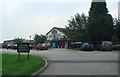
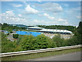
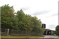
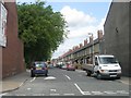
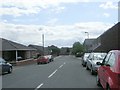

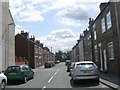
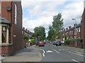
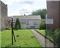
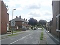
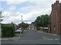
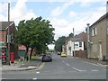
64 photos from this area
Area Information
Key information about the WF6 1RJ including its size, population, and administrative classification.
- Area Type
- Postcode
- Area Size
- 6209 m²
- Population
- 2555
- Population Density
- 655 people/km²
House Prices in WF6 1RJ
22
Properties
£161,814
Average Sold Price
£75,995
Lowest Price
£240,000
Highest Price
Showing 22 properties
| Address | Type | Beds | Baths | Last Sale Price | Last Sale Date | |
|---|---|---|---|---|---|---|
| 5 Waterford Place, Normanton, WF6 1RJ | Semi-detached | 3 | 2 | £185,000 | Sep 2025 | |
| 9 Waterford Place, Normanton, WF6 1RJ | Terraced | 4 | 3 | £240,000 | May 2025 | |
| 6 Waterford Place, Normanton, WF6 1RJ | Terraced | 3 | 2 | £180,000 | Jan 2025 | |
| 7 Waterford Place, Normanton, WF6 1RJ | Semi-detached | 3 | 2 | £201,000 | Sep 2024 | |
| 21 Waterford Place, Normanton, WF6 1RJ | Semi-detached | 4 | 2 | £228,000 | Aug 2024 | |
| 20 Waterford Place, Normanton, WF6 1RJ | house | - | - | £190,000 | Feb 2022 | |
| 11 Waterford Place, Normanton, WF6 1RJ | house | - | - | £190,000 | Nov 2021 | |
| 23 Waterford Place, Normanton, WF6 1RJ | house | 3 | 2 | £177,500 | Sep 2021 | |
| 14 Waterford Place, Normanton, WF6 1RJ | Flat | 2 | 2 | £115,000 | Jan 2021 | |
| 22 Waterford Place, Normanton, WF6 1RJ | Terraced | 3 | 1 | £138,000 | Apr 2019 |
Page 1 of 3
Energy Efficiency in WF6 1RJ
Amenities
Schools
| Rank | School | Type | Entry gender | Ages |
|---|
Explore more schools in this area
Go to Schools tabDemographics
Household Size
Family (3-5 people)
most common
Accommodation Type
Houses
most common
Tenure
57
majority
Ethnic Group
White
most common
Religion
N/A
most common
Household Composition
N/A
most common
Age
47
median
Adults (30-64 years)
most common
Household Deprivation
N/A
with no deprivation
NS-SEC
27
in Lower managerial occupations
Explore more demographic insights in this area
Go to Demographics tabPlanning
Planning Constraints
- Flood RiskPremium
- Ramsar Wetland SitesPremium
- Area of Outstanding Natural BeautyPremium
- Protected Nature ReservePremium
- Protected WoodlandPremium