Area Overview for WF6 1NB
Photos of WF6 1NB
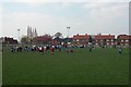
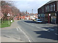
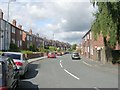
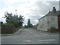
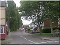
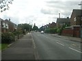
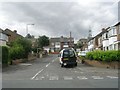
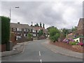
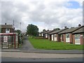
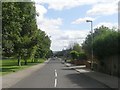
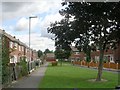
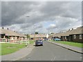
90 photos from this area
Area Information
Key information about the WF6 1NB including its size, population, and administrative classification.
- Area Type
- Postcode
- Area Size
- 5.5 hectares
- Population
- 1465
- Population Density
- 187 people/km²
House Prices in WF6 1NB
61
Properties
£89,597
Average Sold Price
£31,000
Lowest Price
£156,000
Highest Price
Showing 61 properties
| Address | Type | Beds | Baths | Last Sale Price | Last Sale Date | |
|---|---|---|---|---|---|---|
| 107 Queensway, Normanton, WF6 1NB | house | 2 | - | £128,000 | Oct 2025 | |
| 111 Queensway, Normanton, WF6 1NB | Terraced | 2 | 1 | £126,000 | Dec 2024 | |
| 83 Queensway, Normanton, WF6 1NB | Semi-detached | 3 | - | £120,000 | Jan 2024 | |
| 78 Queensway, Normanton, WF6 1NB | Bungalow | 2 | 1 | £156,000 | Nov 2022 | |
| 137 Queensway, Normanton, WF6 1NB | house | - | - | £128,000 | Jun 2022 | |
| 62 Queensway, Normanton, WF6 1NB | house | - | - | £95,000 | Nov 2021 | |
| 72 Queensway, Normanton, WF6 1NB | Terraced | 2 | 1 | £82,499 | Dec 2019 | |
| 90 Queensway, Normanton, WF6 1NB | Bungalow | 2 | 1 | £100,000 | Nov 2018 | |
| 60 Queensway, Normanton, WF6 1NB | Terraced | 2 | 1 | £65,000 | Nov 2017 | |
| 109 Queensway, Normanton, WF6 1NB | Terraced | 2 | 1 | £73,000 | Aug 2017 |
Page 1 of 7
Energy Efficiency in WF6 1NB
Amenities
Schools
| Rank | School | Type | Entry gender | Ages |
|---|
Explore more schools in this area
Go to Schools tabDemographics
Household Size
Two person
most common
Accommodation Type
Houses
most common
Tenure
59
majority
Ethnic Group
White
most common
Religion
N/A
most common
Household Composition
N/A
most common
Age
47
median
Adults (30-64 years)
most common
Household Deprivation
N/A
with no deprivation
NS-SEC
24
in Lower managerial occupations
Explore more demographic insights in this area
Go to Demographics tabPlanning
Planning Constraints
- Flood RiskPremium
- Ramsar Wetland SitesPremium
- Area of Outstanding Natural BeautyPremium
- Protected Nature ReservePremium
- Protected WoodlandPremium