Area Overview for WF6 1HB
Photos of WF6 1HB
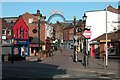
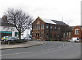
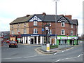
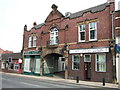

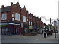
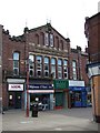

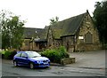
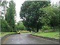

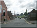
100 photos from this area
Area Information
Key information about the WF6 1HB including its size, population, and administrative classification.
- Area Type
- Postcode
- Area Size
- 7353 m²
- Population
- 1461
- Population Density
- 6635 people/km²
House Prices in WF6 1HB
20
Properties
£164,917
Average Sold Price
£59,950
Lowest Price
£275,000
Highest Price
Showing 20 properties
| Address | Type | Beds | Baths | Last Sale Price | Last Sale Date | |
|---|---|---|---|---|---|---|
| 93 Church Lane, Normanton, WF6 1HB | Terraced | 3 | 1 | £235,000 | Jun 2025 | |
| 97 Church Lane, Normanton, WF6 1HB | Terraced | 3 | 1 | £210,000 | May 2023 | |
| 87 Church Lane, Normanton, WF6 1HB | house | - | - | £190,000 | Feb 2022 | |
| 99 Church Lane, Normanton, WF6 1HB | Terraced | 3 | 1 | £165,000 | Dec 2018 | |
| 89 Church Lane, Normanton, WF6 1HB | house | - | - | £138,000 | Oct 2018 | |
| 75 Church Lane, Normanton, WF6 1HB | Terraced | 5 | 1 | £212,000 | Nov 2017 | |
| 73 Church Lane, Normanton, WF6 1HB | Terraced | 4 | 1 | £165,000 | Oct 2016 | |
| 81 Church Lane, Normanton, WF6 1HB | Semi-detached | 5 | - | £275,000 | Nov 2014 | |
| 67 Church Lane, Normanton, WF6 1HB | Terraced | 3 | - | £169,950 | Sep 2013 | |
| 95 Church Lane, Normanton, WF6 1HB | Terraced | - | - | £149,950 | Jul 2004 |
Page 1 of 2
Energy Efficiency in WF6 1HB
Amenities
Schools
| Rank | School | Type | Entry gender | Ages |
|---|
Explore more schools in this area
Go to Schools tabDemographics
Household Size
Family (3-5 people)
most common
Accommodation Type
Houses
most common
Tenure
66
majority
Ethnic Group
White
most common
Religion
N/A
most common
Household Composition
N/A
most common
Age
47
median
Adults (30-64 years)
most common
Household Deprivation
N/A
with no deprivation
NS-SEC
24
in Lower managerial occupations
Explore more demographic insights in this area
Go to Demographics tabPlanning
Planning Constraints
- Flood RiskPremium
- Ramsar Wetland SitesPremium
- Area of Outstanding Natural BeautyPremium
- Protected Nature ReservePremium
- Protected WoodlandPremium