Area Overview for WF6 1AB
Photos of WF6 1AB
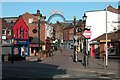
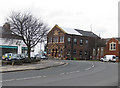
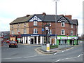
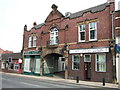

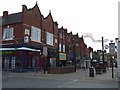
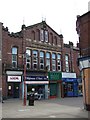
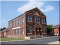
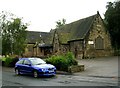
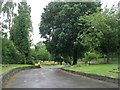
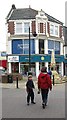
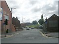
100 photos from this area
Area Information
Key information about the WF6 1AB including its size, population, and administrative classification.
- Area Type
- Postcode
- Area Size
- 6029 m²
- Population
- 1688
- Population Density
- 279962 people/km²
House Prices in WF6 1AB
28
Properties
£92,090
Average Sold Price
£32,000
Lowest Price
£290,000
Highest Price
Showing 28 properties
| Address | Type | Beds | Baths | Last Sale Price | Last Sale Date | |
|---|---|---|---|---|---|---|
| 46 Princess Street, Normanton, WF6 1AB | Terraced | 2 | 1 | £152,000 | Apr 2025 | |
| 56 Princess Street, Normanton, WF6 1AB | Terraced | 2 | 1 | £117,000 | Dec 2024 | |
| 41 Princess Street, Normanton, WF6 1AB | Terraced | 2 | 1 | £110,000 | Jun 2023 | |
| 37 Princess Street, Normanton, WF6 1AB | house | 2 | 1 | £106,000 | Mar 2023 | |
| 57 Princess Street, Normanton, WF6 1AB | house | 2 | - | £290,000 | Jan 2023 | |
| 55 Princess Street, Normanton, WF6 1AB | house | - | - | £73,000 | Feb 2022 | |
| 43 Princess Street, Normanton, WF6 1AB | Terraced | 2 | - | £65,000 | Jul 2020 | |
| 51 Princess Street, Normanton, WF6 1AB | house | - | - | £65,000 | Mar 2018 | |
| 44 Princess Street, Normanton, WF6 1AB | Terraced | 2 | 1 | £75,000 | Mar 2017 | |
| 40 Princess Street, Normanton, WF6 1AB | Terraced | 2 | 1 | £78,500 | Aug 2016 |
Page 1 of 3
Energy Efficiency in WF6 1AB
Amenities
Schools
| Rank | School | Type | Entry gender | Ages |
|---|
Explore more schools in this area
Go to Schools tabDemographics
Household Size
One person
most common
Accommodation Type
Houses
most common
Tenure
57
majority
Ethnic Group
White
most common
Religion
N/A
most common
Household Composition
N/A
most common
Age
47
median
Adults (30-64 years)
most common
Household Deprivation
N/A
with no deprivation
NS-SEC
23
in Lower managerial occupations
Explore more demographic insights in this area
Go to Demographics tabPlanning
Planning Constraints
- Flood RiskPremium
- Ramsar Wetland SitesPremium
- Area of Outstanding Natural BeautyPremium
- Protected Nature ReservePremium
- Protected WoodlandPremium