Area Overview for WF5 8RG
Photos of WF5 8RG
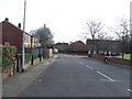

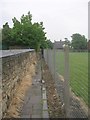
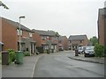
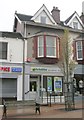
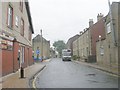
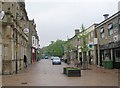
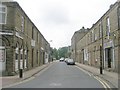
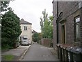
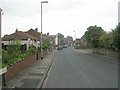
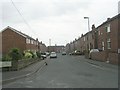
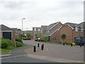
100 photos from this area
Area Information
Key information about the WF5 8RG including its size, population, and administrative classification.
- Area Type
- Postcode
- Area Size
- 7417 m²
- Population
- 1492
- Population Density
- 3924 people/km²
House Prices in WF5 8RG
14
Properties
£266,690
Average Sold Price
£99,950
Lowest Price
£400,000
Highest Price
Showing 14 properties
| Address | Type | Beds | Baths | Last Sale Price | Last Sale Date | |
|---|---|---|---|---|---|---|
| 15 Crown Point Road, Ossett, WF5 8RG | Detached | 4 | 1 | £400,000 | Aug 2025 | |
| 1 Crown Point Road, Ossett, WF5 8RG | Detached | 4 | 1 | £383,000 | Dec 2022 | |
| 5 Crown Point Road, Ossett, WF5 8RG | Bungalow | - | - | £250,000 | Jan 2021 | |
| 17 Crown Point Road, Ossett, WF5 8RG | house | - | - | £330,000 | Apr 2019 | |
| 3 Crown Point Road, Ossett, WF5 8RG | Bungalow | - | - | £300,000 | Dec 2018 | |
| 4 Crown Point Road, Ossett, WF5 8RG | Detached | 5 | 3 | £288,000 | Nov 2012 | |
| 21 Crown Point Road, Ossett, WF5 8RG | Detached | - | - | £350,000 | Mar 2008 | |
| 2 Crown Point Road, Ossett, WF5 8RG | house | - | - | £139,950 | Apr 2002 | |
| 6 Crown Point Road, Ossett, WF5 8RG | Detached | - | - | £126,000 | Feb 2000 | |
| 7 Crown Point Road, Ossett, WF5 8RG | Detached | - | - | £99,950 | Jul 1999 |
Page 1 of 2
Energy Efficiency in WF5 8RG
Amenities
Schools
| Rank | School | Type | Entry gender | Ages |
|---|
Explore more schools in this area
Go to Schools tabDemographics
Household Size
Two person
most common
Accommodation Type
Houses
most common
Tenure
81
majority
Ethnic Group
White
most common
Religion
N/A
most common
Household Composition
N/A
most common
Age
47
median
Adults (30-64 years)
most common
Household Deprivation
N/A
with no deprivation
NS-SEC
39
in Lower managerial occupations
Explore more demographic insights in this area
Go to Demographics tabPlanning
Planning Constraints
- Flood RiskPremium
- Ramsar Wetland SitesPremium
- Area of Outstanding Natural BeautyPremium
- Protected Nature ReservePremium
- Protected WoodlandPremium