Area Overview for WF5 0NL
Photos of WF5 0NL
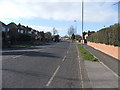
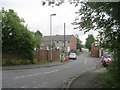
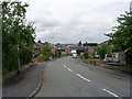
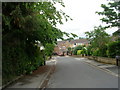
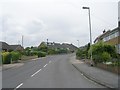
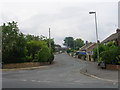
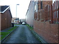
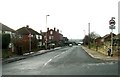
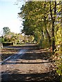
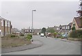
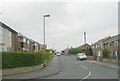
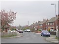
100 photos from this area
Area Information
Key information about the WF5 0NL including its size, population, and administrative classification.
- Area Type
- Postcode
- Area Size
- 1.0 hectares
- Population
- 1309
- Population Density
- 5570 people/km²
House Prices in WF5 0NL
20
Properties
£118,575
Average Sold Price
£43,000
Lowest Price
£165,000
Highest Price
Showing 20 properties
| Address | Type | Beds | Baths | Last Sale Price | Last Sale Date | |
|---|---|---|---|---|---|---|
| 5 Queens Walk, Ossett, WF5 0NL | house | - | - | £165,000 | Jul 2025 | |
| 7 Queens Walk, Ossett, WF5 0NL | Semi-detached | 3 | - | £155,000 | Nov 2020 | |
| 2 Queens Walk, Ossett, WF5 0NL | house | - | - | £159,950 | Feb 2019 | |
| 20 Queens Walk, Ossett, WF5 0NL | Semi-detached | 2 | 1 | £107,500 | Dec 2015 | |
| 22 Queens Walk, Ossett, WF5 0NL | Semi-detached | 2 | 1 | £81,000 | Apr 2012 | |
| 1 Queens Walk, Ossett, WF5 0NL | Semi-detached | 2 | 1 | £43,000 | Jul 2004 | |
| 4 Queens Walk, Ossett, WF5 0NL | house | - | - | - | - | |
| 3 Queens Walk, Ossett, WF5 0NL | house | - | - | - | - | |
| 14 Queens Walk, Ossett, WF5 0NL | house | - | - | - | - | |
| 18 Queens Walk, Ossett, WF5 0NL | Semi-detached | - | - | - | - |
Page 1 of 2
Energy Efficiency in WF5 0NL
Amenities
Schools
| Rank | School | Type | Entry gender | Ages |
|---|
Explore more schools in this area
Go to Schools tabDemographics
Household Size
Two person
most common
Accommodation Type
Houses
most common
Tenure
55
majority
Ethnic Group
White
most common
Religion
N/A
most common
Household Composition
N/A
most common
Age
47
median
Adults (30-64 years)
most common
Household Deprivation
N/A
with no deprivation
NS-SEC
26
in Lower managerial occupations
Explore more demographic insights in this area
Go to Demographics tabPlanning
Planning Constraints
- Flood RiskPremium
- Ramsar Wetland SitesPremium
- Area of Outstanding Natural BeautyPremium
- Protected Nature ReservePremium
- Protected WoodlandPremium