Area Overview for WF4 5NF
Photos of WF4 5NF
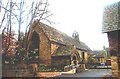
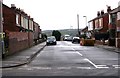
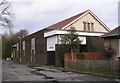
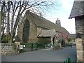
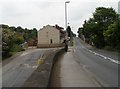
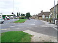
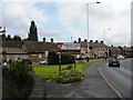
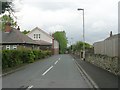
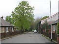
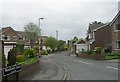
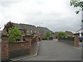
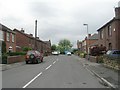
100 photos from this area
Area Information
Key information about the WF4 5NF including its size, population, and administrative classification.
- Area Type
- Postcode
- Area Size
- 4.0 hectares
- Population
- 1611
- Population Density
- 1908 people/km²
House Prices in WF4 5NF
21
Properties
£127,818
Average Sold Price
£35,000
Lowest Price
£250,000
Highest Price
Showing 21 properties
| Address | Type | Beds | Baths | Last Sale Price | Last Sale Date | |
|---|---|---|---|---|---|---|
| 100 Quarry Hill, Horbury, Wakefield, WF4 5NF | Terraced | 4 | 1 | £205,000 | Aug 2025 | |
| 92 Quarry Hill, Horbury, Wakefield, WF4 5NF | Terraced | 4 | 2 | £145,000 | Jul 2025 | |
| 104 Quarry Hill, Horbury, Wakefield, WF4 5NF | Retail | 4 | 1 | £250,000 | Aug 2022 | |
| 118 Quarry Hill, Horbury, Wakefield, WF4 5NF | Terraced | 3 | 1 | £108,000 | Jan 2020 | |
| 60 Quarry Hill, Horbury, Wakefield, WF4 5NF | Terraced | 2 | 1 | £122,000 | Jun 2017 | |
| 110 Quarry Hill, Horbury, Wakefield, WF4 5NF | Terraced | 3 | - | £110,000 | Jan 2015 | |
| 58 Quarry Hill, Horbury, Wakefield, WF4 5NF | house | - | - | £115,000 | Oct 2009 | |
| 102 Quarry Hill, Horbury, Wakefield, WF4 5NF | Terraced | - | - | £182,500 | Nov 2007 | |
| 96 Quarry Hill, Horbury, Wakefield, WF4 5NF | Terraced | 4 | - | £88,500 | Aug 2003 | |
| 114 Quarry Hill, Horbury, Wakefield, WF4 5NF | Terraced | - | - | £45,000 | Nov 1999 |
Page 1 of 3
Energy Efficiency in WF4 5NF
Amenities
Schools
| Rank | School | Type | Entry gender | Ages |
|---|
Explore more schools in this area
Go to Schools tabDemographics
Household Size
Two person
most common
Accommodation Type
Houses
most common
Tenure
72
majority
Ethnic Group
White
most common
Religion
N/A
most common
Household Composition
N/A
most common
Age
47
median
Adults (30-64 years)
most common
Household Deprivation
N/A
with no deprivation
NS-SEC
37
in Lower managerial occupations
Explore more demographic insights in this area
Go to Demographics tabPlanning
Planning Constraints
- Flood RiskPremium
- Ramsar Wetland SitesPremium
- Area of Outstanding Natural BeautyPremium
- Protected Nature ReservePremium
- Protected WoodlandPremium