Area Overview for WF4 2EG
Photos of WF4 2EG
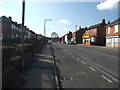
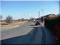
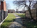
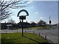
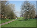
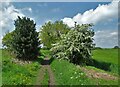
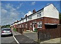
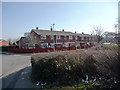
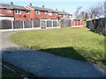
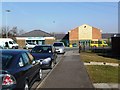
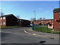
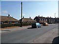
24 photos from this area
Area Information
Key information about the WF4 2EG including its size, population, and administrative classification.
- Area Type
- Postcode
- Area Size
- 1.9 hectares
- Population
- 1351
- Population Density
- 1082 people/km²
House Prices in WF4 2EG
21
Properties
£89,931
Average Sold Price
£23,950
Lowest Price
£131,000
Highest Price
Showing 21 properties
| Address | Type | Beds | Baths | Last Sale Price | Last Sale Date | |
|---|---|---|---|---|---|---|
| 8 Highfields, Havercroft, Wakefield, WF4 2EG | Bungalow | 2 | 1 | £127,500 | May 2023 | |
| 3 Highfields, Havercroft, Wakefield, WF4 2EG | Terraced | 2 | 1 | £90,000 | Nov 2021 | |
| 14 Highfields, Havercroft, Wakefield, WF4 2EG | Semi-detached | 2 | 1 | £104,800 | Sep 2020 | |
| 21 Highfields, Havercroft, Wakefield, WF4 2EG | Bungalow | - | - | £115,000 | Aug 2020 | |
| 18 Highfields, Havercroft, Wakefield, WF4 2EG | Semi-detached | 2 | 1 | £131,000 | Jun 2018 | |
| 2 Highfields, Havercroft, Wakefield, WF4 2EG | house | - | - | £65,000 | Feb 2016 | |
| 23 Highfields, Havercroft, Wakefield, WF4 2EG | Bungalow | - | - | £105,000 | Mar 2012 | |
| 16 Highfields, Havercroft, Wakefield, WF4 2EG | Bungalow | - | - | £100,000 | May 2008 | |
| 15 Highfields, Havercroft, Wakefield, WF4 2EG | Semi-detached | - | - | £80,000 | Oct 2003 | |
| 6 Highfields, Havercroft, Wakefield, WF4 2EG | Bungalow | - | - | £46,995 | May 2000 |
Page 1 of 3
Energy Efficiency in WF4 2EG
Amenities
Schools
| Rank | School | Type | Entry gender | Ages |
|---|
Explore more schools in this area
Go to Schools tabDemographics
Household Size
One person
most common
Accommodation Type
Houses
most common
Tenure
44
majority
Ethnic Group
White
most common
Religion
N/A
most common
Household Composition
N/A
most common
Age
47
median
Adults (30-64 years)
most common
Household Deprivation
N/A
with no deprivation
NS-SEC
16
in Lower managerial occupations
Explore more demographic insights in this area
Go to Demographics tabPlanning
Planning Constraints
- Flood RiskPremium
- Ramsar Wetland SitesPremium
- Area of Outstanding Natural BeautyPremium
- Protected Nature ReservePremium
- Protected WoodlandPremium