Area Overview for WF4 1SX
Photos of WF4 1SX
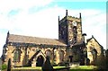
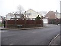
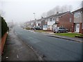
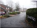
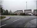
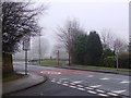
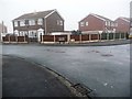
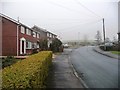
74 photos from this area
Area Information
Key information about the WF4 1SX including its size, population, and administrative classification.
- Area Type
- Postcode
- Area Size
- 1.3 hectares
- Population
- 1423
- Population Density
- 1577 people/km²
House Prices in WF4 1SX
28
Properties
£154,877
Average Sold Price
£69,950
Lowest Price
£243,850
Highest Price
Showing 28 properties
| Address | Type | Beds | Baths | Last Sale Price | Last Sale Date | |
|---|---|---|---|---|---|---|
| 19 Parkway, Crofton, Wakefield, WF4 1SX | Detached | 4 | - | £243,850 | Sep 2021 | |
| 16 Parkway, Crofton, Wakefield, WF4 1SX | Detached | 4 | 1 | £202,850 | Mar 2020 | |
| 21 Parkway, Crofton, Wakefield, WF4 1SX | Detached | 3 | 2 | £190,000 | Jun 2018 | |
| 7 Parkway, Crofton, Wakefield, WF4 1SX | Detached | 3 | 1 | £175,000 | Oct 2017 | |
| 25 Parkway, Crofton, Wakefield, WF4 1SX | Detached | 4 | 1 | £196,000 | Dec 2016 | |
| 31 Parkway, Crofton, Wakefield, WF4 1SX | Detached | 4 | - | £168,000 | Sep 2013 | |
| 17 Parkway, Crofton, Wakefield, WF4 1SX | house | 3 | - | £152,000 | Jan 2013 | |
| 4 Parkway, Crofton, Wakefield, WF4 1SX | Flat | - | - | £80,000 | Oct 2009 | |
| 10 Parkway, Crofton, Wakefield, WF4 1SX | Detached | 4 | 1 | £178,750 | Mar 2007 | |
| 8 Parkway, Crofton, Wakefield, WF4 1SX | Detached | - | - | £194,995 | Jun 2006 |
Page 1 of 3
Energy Efficiency in WF4 1SX
Amenities
Schools
| Rank | School | Type | Entry gender | Ages |
|---|
Explore more schools in this area
Go to Schools tabDemographics
Household Size
Two person
most common
Accommodation Type
Houses
most common
Tenure
93
majority
Ethnic Group
White
most common
Religion
N/A
most common
Household Composition
N/A
most common
Age
47
median
Adults (30-64 years)
most common
Household Deprivation
N/A
with no deprivation
NS-SEC
35
in Lower managerial occupations
Explore more demographic insights in this area
Go to Demographics tabPlanning
Planning Constraints
- Flood RiskPremium
- Ramsar Wetland SitesPremium
- Area of Outstanding Natural BeautyPremium
- Protected Nature ReservePremium
- Protected WoodlandPremium