Area Overview for WF3 4NX
Photos of WF3 4NX
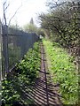
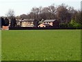
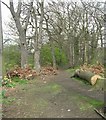

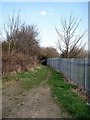
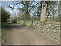
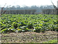
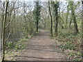
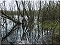
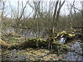
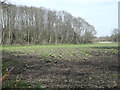
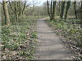
100 photos from this area
Area Information
Key information about the WF3 4NX including its size, population, and administrative classification.
- Area Type
- Postcode
- Area Size
- 9113 m²
- Population
- 2404
- Population Density
- 603 people/km²
House Prices in WF3 4NX
21
Properties
£136,856
Average Sold Price
£42,500
Lowest Price
£220,000
Highest Price
Showing 21 properties
| Address | Type | Beds | Baths | Last Sale Price | Last Sale Date | |
|---|---|---|---|---|---|---|
| 2 Ash Crescent, Stanley, Wakefield, WF3 4NX | house | - | - | £190,000 | Oct 2025 | |
| 3 Ash Crescent, Stanley, Wakefield, WF3 4NX | Semi-detached | 3 | 1 | £220,000 | Jun 2024 | |
| 6 Ash Crescent, Stanley, Wakefield, WF3 4NX | Semi-detached | 3 | - | £159,995 | Jan 2019 | |
| 14 Ash Crescent, Stanley, Wakefield, WF3 4NX | Semi-detached | 3 | - | £168,000 | Oct 2018 | |
| 23 Ash Crescent, Stanley, Wakefield, WF3 4NX | house | - | - | £112,500 | Oct 2016 | |
| 5 Ash Crescent, Stanley, Wakefield, WF3 4NX | Semi-detached | - | - | £65,000 | Mar 2003 | |
| 8 Ash Crescent, Stanley, Wakefield, WF3 4NX | Semi-detached | - | - | £42,500 | Aug 1996 | |
| 4 Ash Crescent, Stanley, Wakefield, WF3 4NX | Semi-detached | 3 | 1 | - | - | |
| 16 Ash Crescent, Stanley, Wakefield, WF3 4NX | house | 3 | - | - | - | |
| 12 Ash Crescent, Stanley, Wakefield, WF3 4NX | house | 3 | - | - | - |
Page 1 of 3
Energy Efficiency in WF3 4NX
Amenities
Schools
| Rank | School | Type | Entry gender | Ages |
|---|
Explore more schools in this area
Go to Schools tabDemographics
Household Size
Two person
most common
Accommodation Type
Houses
most common
Tenure
68
majority
Ethnic Group
White
most common
Religion
N/A
most common
Household Composition
N/A
most common
Age
47
median
Adults (30-64 years)
most common
Household Deprivation
N/A
with no deprivation
NS-SEC
40
in Lower managerial occupations
Explore more demographic insights in this area
Go to Demographics tabPlanning
Planning Constraints
- Flood RiskPremium
- Ramsar Wetland SitesPremium
- Area of Outstanding Natural BeautyPremium
- Protected Nature ReservePremium
- Protected WoodlandPremium