Area Overview for WF3 3FF
Photos of WF3 3FF
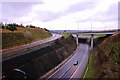
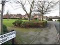

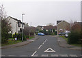


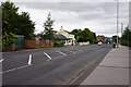
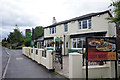
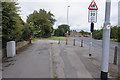
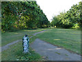
67 photos from this area
Area Information
Key information about the WF3 3FF including its size, population, and administrative classification.
- Area Type
- Postcode
- Area Size
- 35.9 hectares
- Population
- 1733
- Population Density
- 1121 people/km²
House Prices in WF3 3FF
28
Properties
£193,398
Average Sold Price
£37,000
Lowest Price
£445,000
Highest Price
Showing 28 properties
| Address | Type | Beds | Baths | Last Sale Price | Last Sale Date | |
|---|---|---|---|---|---|---|
| 4 Tatton Lane, Thorpe, Wakefield, WF3 3FF | Detached | 4 | 1 | £317,500 | Oct 2023 | |
| 19 Tatton Lane, Thorpe, Wakefield, WF3 3FF | house | 2 | - | £97,265 | Nov 2022 | |
| 41 Tatton Lane, Thorpe, Wakefield, WF3 3FF | Detached | 5 | 3 | £445,000 | Aug 2021 | |
| 27 Tatton Lane, Thorpe, Wakefield, WF3 3FF | Semi-detached | 3 | 2 | £208,000 | Jul 2021 | |
| 14 Tatton Lane, Thorpe, Wakefield, WF3 3FF | Detached | 5 | 3 | £350,000 | Jul 2020 | |
| 39 Tatton Lane, Thorpe, Wakefield, WF3 3FF | Detached | 4 | 3 | £330,000 | Jul 2020 | |
| 43 Tatton Lane, Thorpe, Wakefield, WF3 3FF | Detached | 4 | 3 | £276,500 | May 2018 | |
| 11 Tatton Lane, Thorpe, Wakefield, WF3 3FF | Flat | 2 | 1 | £59,741 | Feb 2018 | |
| 17 Tatton Lane, Thorpe, Wakefield, WF3 3FF | Semi-detached | 2 | 1 | £66,969 | Aug 2017 | |
| 3 Tatton Lane, Thorpe, Wakefield, WF3 3FF | Semi-detached | 3 | 1 | £86,430 | Jul 2017 |
Page 1 of 3
Energy Efficiency in WF3 3FF
Amenities
Schools
| Rank | School | Type | Entry gender | Ages |
|---|
Explore more schools in this area
Go to Schools tabDemographics
Household Size
Family (3-5 people)
most common
Accommodation Type
Houses
most common
Tenure
70
majority
Ethnic Group
White
most common
Religion
N/A
most common
Household Composition
N/A
most common
Age
47
median
Adults (30-64 years)
most common
Household Deprivation
N/A
with no deprivation
NS-SEC
39
in Lower managerial occupations
Explore more demographic insights in this area
Go to Demographics tabPlanning
Planning Constraints
- Flood RiskPremium
- Ramsar Wetland SitesPremium
- Area of Outstanding Natural BeautyPremium
- Protected Nature ReservePremium
- Protected WoodlandPremium