Area Overview for WF2 8LF
Photos of WF2 8LF
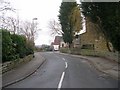
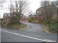
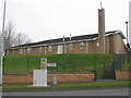
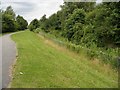
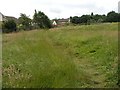
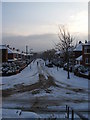
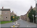
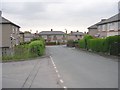
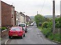
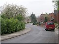
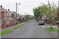
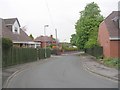
100 photos from this area
Area Information
Key information about the WF2 8LF including its size, population, and administrative classification.
- Area Type
- Postcode
- Area Size
- 1.4 hectares
- Population
- 1229
- Population Density
- 1740 people/km²
House Prices in WF2 8LF
22
Properties
£212,535
Average Sold Price
£68,000
Lowest Price
£377,500
Highest Price
Showing 22 properties
| Address | Type | Beds | Baths | Last Sale Price | Last Sale Date | |
|---|---|---|---|---|---|---|
| 104 Lennox Drive, Wakefield, WF2 8LF | Detached | 3 | 2 | £290,000 | Nov 2025 | |
| 71 Lennox Drive, Wakefield, WF2 8LF | Detached | 3 | 1 | £300,000 | Aug 2025 | |
| 63 Lennox Drive, Wakefield, WF2 8LF | Detached | 4 | 2 | £350,000 | Jan 2025 | |
| 100 Lennox Drive, Wakefield, WF2 8LF | Detached | 4 | - | £377,500 | Dec 2022 | |
| 114 Lennox Drive, Wakefield, WF2 8LF | house | - | - | £195,000 | Jun 2020 | |
| 94 Lennox Drive, Wakefield, WF2 8LF | Detached | 4 | 1 | £215,000 | Dec 2018 | |
| 92 Lennox Drive, Wakefield, WF2 8LF | Detached | 3 | 1 | £165,000 | Mar 2016 | |
| 59 Lennox Drive, Wakefield, WF2 8LF | house | - | - | £138,000 | Sep 2012 | |
| 98 Lennox Drive, Wakefield, WF2 8LF | Detached | 4 | 1 | £210,000 | Aug 2009 | |
| 61 Lennox Drive, Wakefield, WF2 8LF | Semi-detached | - | - | £159,500 | Oct 2006 |
Page 1 of 3
Energy Efficiency in WF2 8LF
Amenities
Schools
| Rank | School | Type | Entry gender | Ages |
|---|
Explore more schools in this area
Go to Schools tabDemographics
Household Size
Two person
most common
Accommodation Type
Houses
most common
Tenure
68
majority
Ethnic Group
White
most common
Religion
N/A
most common
Household Composition
N/A
most common
Age
47
median
Adults (30-64 years)
most common
Household Deprivation
N/A
with no deprivation
NS-SEC
28
in Lower managerial occupations
Explore more demographic insights in this area
Go to Demographics tabPlanning
Planning Constraints
- Flood RiskPremium
- Ramsar Wetland SitesPremium
- Area of Outstanding Natural BeautyPremium
- Protected Nature ReservePremium
- Protected WoodlandPremium