Area Overview for WF2 8DJ
Photos of WF2 8DJ

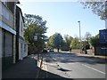

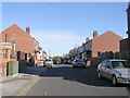
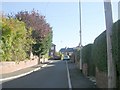
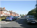
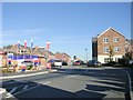
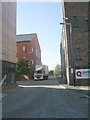
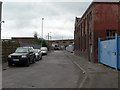
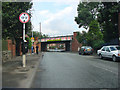
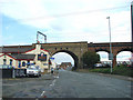
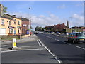
100 photos from this area
Area Information
Key information about the WF2 8DJ including its size, population, and administrative classification.
- Area Type
- Postcode
- Area Size
- 8430 m²
- Population
- 1864
- Population Density
- 1940 people/km²
House Prices in WF2 8DJ
16
Properties
£151,512
Average Sold Price
£59,500
Lowest Price
£245,000
Highest Price
Showing 16 properties
| Address | Type | Beds | Baths | Last Sale Price | Last Sale Date | |
|---|---|---|---|---|---|---|
| 85 Denby Dale Road, Wakefield, WF2 8DJ | Terraced | 4 | 2 | £231,000 | Dec 2022 | |
| 89 Denby Dale Road, Wakefield, WF2 8DJ | Detached | 5 | 4 | £245,000 | Feb 2021 | |
| 79 Denby Dale Road, Wakefield, WF2 8DJ | Terraced | 3 | 1 | £156,500 | May 2018 | |
| 93 Denby Dale Road, Wakefield, WF2 8DJ | Terraced | 4 | 2 | £220,000 | May 2018 | |
| Myrtle Dene, 81 Denby Dale Road, Wakefield, WF2 8DJ | Terraced | 3 | 1 | £179,500 | Dec 2017 | |
| 77 Denby Dale Road, Wakefield, WF2 8DJ | house | - | - | £130,000 | Nov 2011 | |
| 73 Denby Dale Road, Wakefield, WF2 8DJ | house | - | - | £139,950 | Dec 2009 | |
| 87 Denby Dale Road, Wakefield, WF2 8DJ | Detached | - | - | £192,000 | Apr 2005 | |
| 67 Denby Dale Road, Wakefield, WF2 8DJ | Detached | 5 | - | £160,000 | May 2004 | |
| 71 Denby Dale Road, Wakefield, WF2 8DJ | Detached | - | - | £125,000 | Dec 2001 |
Page 1 of 2
Energy Efficiency in WF2 8DJ
Amenities
Schools
| Rank | School | Type | Entry gender | Ages |
|---|
Explore more schools in this area
Go to Schools tabDemographics
Household Size
One person
most common
Accommodation Type
Houses
most common
Tenure
46
majority
Ethnic Group
White
most common
Religion
N/A
most common
Household Composition
N/A
most common
Age
47
median
Adults (30-64 years)
most common
Household Deprivation
N/A
with no deprivation
NS-SEC
21
in Lower managerial occupations
Explore more demographic insights in this area
Go to Demographics tabPlanning
Planning Constraints
- Flood RiskPremium
- Ramsar Wetland SitesPremium
- Area of Outstanding Natural BeautyPremium
- Protected Nature ReservePremium
- Protected WoodlandPremium