Area Overview for WF2 7QA
Photos of WF2 7QA
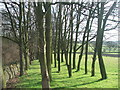
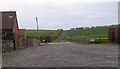
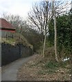
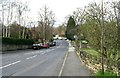
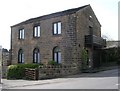
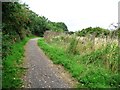
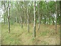
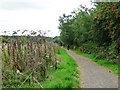
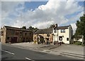
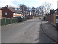
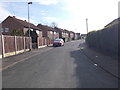
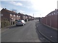
56 photos from this area
Area Information
Key information about the WF2 7QA including its size, population, and administrative classification.
- Area Type
- Postcode
- Area Size
- 2.7 hectares
- Population
- 2115
- Population Density
- 4752 people/km²
House Prices in WF2 7QA
37
Properties
£111,161
Average Sold Price
£18,900
Lowest Price
£167,000
Highest Price
Showing 37 properties
| Address | Type | Beds | Baths | Last Sale Price | Last Sale Date | |
|---|---|---|---|---|---|---|
| 68 Wharncliffe Road, Wakefield, WF2 7QA | Semi-detached | 3 | 1 | £147,000 | May 2025 | |
| 141 Wharncliffe Road, Wakefield, WF2 7QA | Semi-detached | 2 | 1 | £155,000 | Oct 2024 | |
| 72 Wharncliffe Road, Wakefield, WF2 7QA | Semi-detached | 2 | 1 | £135,000 | Dec 2022 | |
| 80 Wharncliffe Road, Wakefield, WF2 7QA | Semi-detached | 2 | 1 | £127,000 | Nov 2022 | |
| 137 Wharncliffe Road, Wakefield, WF2 7QA | house | - | - | £167,000 | Dec 2021 | |
| 133 Wharncliffe Road, Wakefield, WF2 7QA | house | - | - | £125,000 | Mar 2021 | |
| 139 Wharncliffe Road, Wakefield, WF2 7QA | Semi-detached | 3 | 1 | £137,950 | Sep 2018 | |
| 62 Wharncliffe Road, Wakefield, WF2 7QA | Detached | 3 | 1 | £135,000 | Aug 2017 | |
| 157 Wharncliffe Road, Wakefield, WF2 7QA | house | - | - | £100,000 | Aug 2016 | |
| 153 Wharncliffe Road, Wakefield, WF2 7QA | Semi-detached | 3 | 1 | £90,000 | Jan 2016 |
Page 1 of 4
Energy Efficiency in WF2 7QA
Amenities
Schools
| Rank | School | Type | Entry gender | Ages |
|---|
Explore more schools in this area
Go to Schools tabDemographics
Household Size
Two person
most common
Accommodation Type
Houses
most common
Tenure
50
majority
Ethnic Group
White
most common
Religion
N/A
most common
Household Composition
N/A
most common
Age
47
median
Adults (30-64 years)
most common
Household Deprivation
N/A
with no deprivation
NS-SEC
25
in Lower managerial occupations
Explore more demographic insights in this area
Go to Demographics tabPlanning
Planning Constraints
- Flood RiskPremium
- Ramsar Wetland SitesPremium
- Area of Outstanding Natural BeautyPremium
- Protected Nature ReservePremium
- Protected WoodlandPremium