Area Overview for WF2 7LR
Photos of WF2 7LR
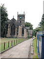

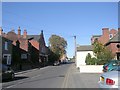
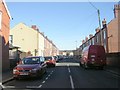

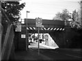
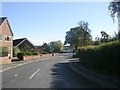
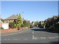
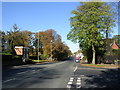
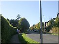
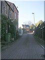
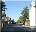
100 photos from this area
Area Information
Key information about the WF2 7LR including its size, population, and administrative classification.
- Area Type
- Postcode
- Area Size
- 1.2 hectares
- Population
- 1481
- Population Density
- 1692 people/km²
House Prices in WF2 7LR
16
Properties
£402,529
Average Sold Price
£89,350
Lowest Price
£917,500
Highest Price
Showing 16 properties
| Address | Type | Beds | Baths | Last Sale Price | Last Sale Date | |
|---|---|---|---|---|---|---|
| 28 Sandal Avenue, Wakefield, WF2 7LR | Semi-detached | 5 | 3 | £585,000 | Apr 2025 | |
| 2 Sandal Avenue, Wakefield, WF2 7LR | house | - | - | £917,500 | Dec 2023 | |
| 8 Sandal Avenue, Wakefield, WF2 7LR | Detached | 4 | 2 | £500,000 | Sep 2022 | |
| 10 Sandal Avenue, Wakefield, WF2 7LR | Semi-detached | 3 | 1 | £282,500 | Feb 2019 | |
| 30 Sandal Avenue, Wakefield, WF2 7LR | house | - | - | £470,000 | Nov 2016 | |
| 14 Sandal Avenue, Wakefield, WF2 7LR | house | - | - | £346,000 | Nov 2015 | |
| 16 Sandal Avenue, Wakefield, WF2 7LR | Semi-detached | 4 | - | £280,000 | Feb 2015 | |
| 18 Sandal Avenue, Wakefield, WF2 7LR | Flat | - | - | £270,000 | Nov 2013 | |
| 6 Sandal Avenue, Wakefield, WF2 7LR | Terraced | - | - | £320,000 | Apr 2012 | |
| 26 Sandal Avenue, Wakefield, WF2 7LR | house | - | - | £320,000 | Mar 2009 |
Page 1 of 2
Energy Efficiency in WF2 7LR
Amenities
Schools
| Rank | School | Type | Entry gender | Ages |
|---|
Explore more schools in this area
Go to Schools tabDemographics
Household Size
Two person
most common
Accommodation Type
Houses
most common
Tenure
81
majority
Ethnic Group
White
most common
Religion
N/A
most common
Household Composition
N/A
most common
Age
47
median
Adults (30-64 years)
most common
Household Deprivation
N/A
with no deprivation
NS-SEC
47
in Lower managerial occupations
Explore more demographic insights in this area
Go to Demographics tabPlanning
Planning Constraints
- Flood RiskPremium
- Ramsar Wetland SitesPremium
- Area of Outstanding Natural BeautyPremium
- Protected Nature ReservePremium
- Protected WoodlandPremium